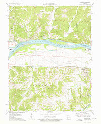
1974 Map of Morrison
USGS Topo · Published 1976About this map
Missouri River bottomlands and the confluence with the Gasconade River define the landscape of this mid-1970s survey. The topography is split between the northern bluffs of Auvasse and Loutre townships and the southern reaches of Benton and Richland. Transportation corridors closely follow the water, with the Missouri-Kansas-Texas railroad tracking the north bank through Portland and Bluffton, while the Missouri Pacific line serves Morrison to the south.
Find a feature on this map
40 named features on this map. Tap any name to fly to it.
Don’t see what you’re looking for? This feature index may not catch every label — zoom into the map to look around manually.
Map Details
Editions of this 1974 Morrison Map
2 editions found
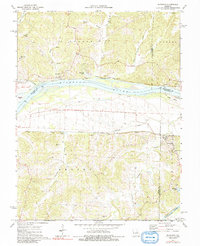
Other maps of this area

1890 · Fulton
USGS Topo · 1:125,000

1928 · Fulton
USGS Topo · 1:62,500

1931 · Fulton
USGS Topo · 1:62,500

1935 · Morrison
USGS Topo · 1:48,000

1940 · Montgomery City
USGS Topo · 1:62,500

1942 · Montgomery City
USGS Topo · 1:62,500

1942 · Morrison
USGS Topo · 1:62,500

1945 · Mokane
USGS Topo · 1:62,500

1945 · Morrison
USGS Topo · 1:62,500

1949 · Saint Louis
USGS Topo · 1:250,000