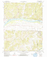
1974 Map of Morrison
USGS Topo · Published 1991About this map
The Missouri River corridor serves as the primary artery for this mid-1970s landscape, where riverfront settlements like Portland and Bluffton are connected by the Missouri Pacific railroad. The topography is defined by the significant river bottomlands and the rugged bluffs of the Loutre and Auxvasse districts, which rise sharply from the water. Near the confluence with the Gasconade River, the town of Morrison sits nestled against the hills, serving as a focal point for the surrounding rural townships of Benton and Richland.
Find a feature on this map
36 named features on this map. Tap any name to fly to it.
Don’t see what you’re looking for? This feature index may not catch every label — zoom into the map to look around manually.
Map Details
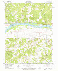
Editions of this 1974 Morrison Map
2 editions found
Other maps of this area

1890 · Fulton
USGS Topo · 1:125,000

1928 · Fulton
USGS Topo · 1:62,500

1931 · Fulton
USGS Topo · 1:62,500

1935 · Morrison
USGS Topo · 1:48,000

1940 · Montgomery City
USGS Topo · 1:62,500

1942 · Montgomery City
USGS Topo · 1:62,500

1942 · Morrison
USGS Topo · 1:62,500

1945 · Mokane
USGS Topo · 1:62,500

1945 · Morrison
USGS Topo · 1:62,500

1949 · Saint Louis
USGS Topo · 1:250,000