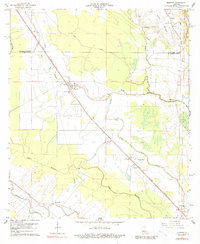
1965 Map of Morrow
USGS Topo · Published 1990About this map
The low-lying lands of the Avoyelles Parish St Landry Parish border define this mid-century landscape, where a dense network of bayous and canals dictates the pattern of settlement. Local life is anchored by a significant number of rural congregations and family resting places, including Zion Traveler Ch, Antioch Ch, and the Goudeau Cem. The community of Morrow serves as a central hub, supported by the Lincoln Sch and the Morrow Cem.
Find a feature on this map
35 named features on this map. Tap any name to fly to it.
Don’t see what you’re looking for? This feature index may not catch every label — zoom into the map to look around manually.
Map Details
Editions of this 1965 Morrow Map
2 editions found
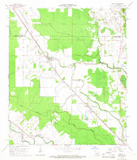
Other maps of this area

1939 · Opelousas
USGS Topo · 1:62,500

1948 · Bunkie
USGS Topo · 1:62,500

1952 · Lake Charles
USGS Topo · 1:250,000

1954 · Lake Charles
USGS Topo · 1:250,000

1954 · Baton Rouge
USGS Topo · 1:250,000

1955 · Odenburg
USGS Topo · 1:62,500

1956 · Opelousas
USGS Topo · 1:62,500

1956 · Baton Rouge
USGS Topo · 1:250,000

1957 · Opelousas
USGS Topo · 1:62,500

1959 · Palmetto
USGS Topo · 1:62,500