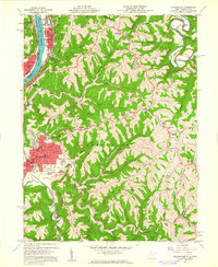
1960 Map of Moundsville
USGS Topo · Published 1961About this map
The Ohio River corridor serves as the industrial and civic spine of this 1960s-era study, where the Baltimore and Ohio railroad tracks parallel the water through dense riverfront settlements. In Moundsville, the concentration of institutional landmarks is particularly dense, featuring the State Penitentiary and the Grave Creek Indian Mound Museum situated near the Court House. The surrounding landscape is defined by its social and correctional infrastructure, including the Prison Farms, the Prison Cemetery, and Camp Fairchance.
Find a feature on this map
74 named features on this map. Tap any name to fly to it.
Don’t see what you’re looking for? This feature index may not catch every label — zoom into the map to look around manually.
Map Details
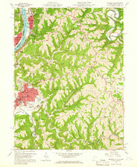
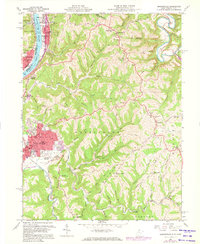
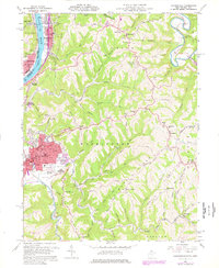
Editions of this 1960 Moundsville Map
4 editions found
Other maps of this area

1902 · Wheeling
USGS Topo · 1:62,500

1904 · Cameron
USGS Topo · 1:62,500

1905 · Clarington
USGS Topo · 1:62,500

1905 · St. Clairsville
USGS Topo · 1:62,500

1935 · Cameron
USGS Topo · 1:62,500

1935 · Clarington
USGS Topo · 1:62,500

1935 · Wheeling
USGS Topo · 1:62,500

1940 · Clarington
USGS Topo · 1:62,500

1942 · Cameron
USGS Topo · 1:62,500

1942 · Wheeling
USGS Topo · 1:62,500