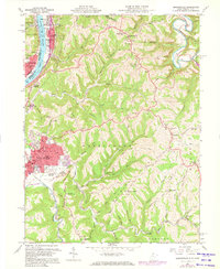
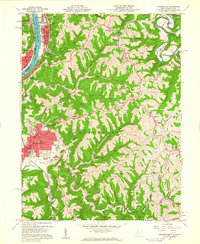
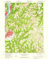
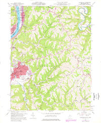
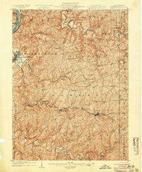
1960 Map of Moundsville
USGS Topo · Published 1973About this map
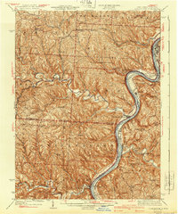
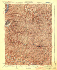
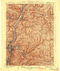
Moundsville sits as a primary riverfront hub along the Ohio River, dominated by the presence of the State Penitentiary and the ancient Grave Creek Indian Mound Museum. This 1960s landscape reveals the heavy institutional and industrial footprint of the era, from the Prison Farms and Camp Fairchance south of town to the rail lines of the Baltimore and Ohio RR hugging the riverbank. The terrain rises sharply away from the water into a series of prominent ridges, including Waymans Ridge and Blairs Ridge, where rural life is marked by several country churches like Oak Grove Ch and Allen Grove Ch.
Find a feature on this map
87 named features on this map. Tap any name to fly to it.
Don’t see what you’re looking for? This feature index may not catch every label — zoom into the map to look around manually.
Map Details
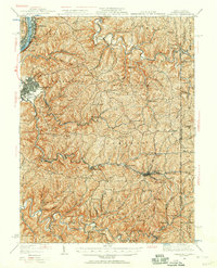
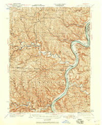
Editions of this 1960 Moundsville Map
4 editions found
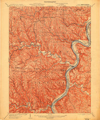
Other maps of this area

1902 · Wheeling
USGS Topo · 1:62,500
1904 · Cameron
USGS Topo · 1:62,500
1905 · Clarington
USGS Topo · 1:62,500

1905 · St. Clairsville
USGS Topo · 1:62,500
1935 · Cameron
USGS Topo · 1:62,500
1935 · Clarington
USGS Topo · 1:62,500

1935 · Wheeling
USGS Topo · 1:62,500
1940 · Clarington
USGS Topo · 1:62,500
1942 · Cameron
USGS Topo · 1:62,500
1942 · Wheeling
USGS Topo · 1:62,500