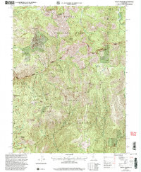
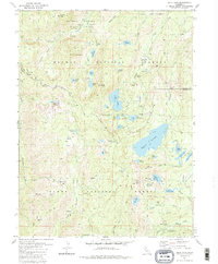
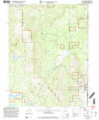
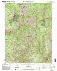
2000 Map of Mount Fillmore
USGS Topo · Published 2003This historical map portrays the area of Mount Fillmore in 2000, primarily covering Sierra County as well as portions of Plumas County. Featuring a scale of 1:24000, this map provides a highly detailed snapshot of the terrain, roads, buildings, counties, and historical landmarks in the Mount Fillmore region at the time. Published in 2003, it is one of 2 known editions of this map due to revisions or reprints.
Map Details
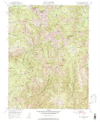
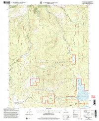
Editions of this 2000 Mount Fillmore Map
2 editions found
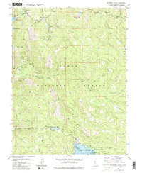
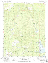
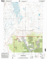
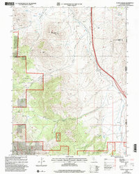
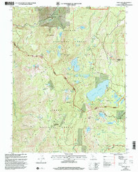
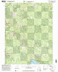
Historical Maps of California Through Time
14 maps found
1951 Mt. Fillmore
Sierra County, CA
1978 Evans Canyon
Sierra County, CA
1981 Antelope Valley
Sierra County, CA

1981 Dog Valley
Sierra County, CA
1981 Gold Lake
Sierra County, CA
1981 Haypress Valley
Sierra County, CA
1981 Sardine Peak
Sierra County, CA
2000 Antelope Valley
Sierra County, CA
2000 Dog Valley
Sierra County, CA
2000 Evans Canyon
Sierra County, CA
2000 Gold Lake
Sierra County, CA
2000 Haypress Valley
Sierra County, CA
2000 Mount Fillmore
Sierra County, CA
2000 Sardine Peak
Sierra County, CA