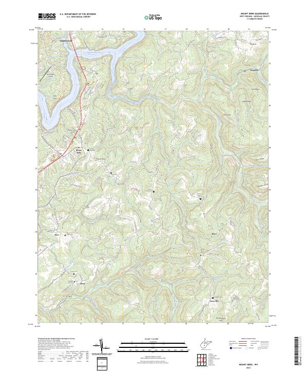
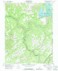
2023 Map of Mount Nebo
USGS Topo · Published 2023About this map
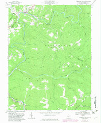
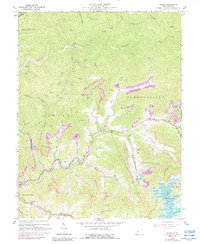
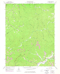
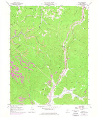
Summersville Lake dominates the northern reaches of this Nicholas County terrain, where the Gauley River's impoundment creates a complex shoreline around Long Point. The landscape is defined by the high, divided ridges typical of the Allegheny Plateau, notably The Divide and Clements Divide which separate the winding drainages of Hominy Creek and Anglins Creek. Small settlements and family-named landmarks are scattered along the rural road network, including Mount Nebo and Deepwell.
Find a feature on this map
101 named features on this map. Tap any name to fly to it.
Don’t see what you’re looking for? This feature index may not catch every label — zoom into the map to look around manually.
Map Details
Editions of this 2023 Mount Nebo Map
This is the sole edition of this map. No revisions or reprints were ever made.
Historical Maps of Deepwell Through Time
20 maps found

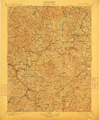
1889 Nicholas
Nicholas County, WV

1891 Nicholas
Nicholas County, WV
1901 Nicholas
Nicholas County, WV
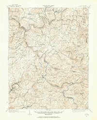
1914 Winona
Nicholas County, WV
1916 Winona
Nicholas County, WV
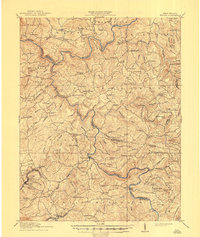
1966 Camden On Gauley
Nicholas County, WV
1967 Gilboa
Nicholas County, WV
1967 Lockwood
Nicholas County, WV
1967 Widen
Nicholas County, WV
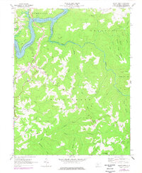
1969 Mount Nebo
Nicholas County, WV
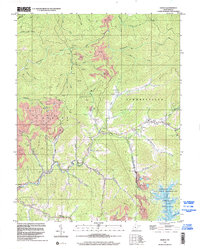
1969 Summersville Dam
Nicholas County, WV
1995 Camden on Gauley
Nicholas County, WV
1996 Gilboa
Nicholas County, WV
1996 Lockwood
Nicholas County, WV
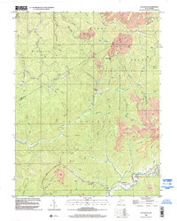
2023 Camden On Gauley
Nicholas County, WV
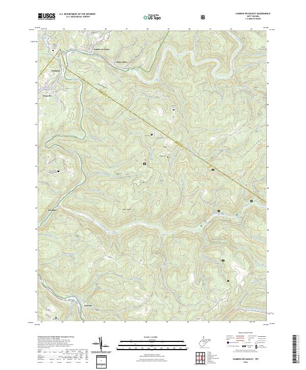
2023 Gilboa
Nicholas County, WV
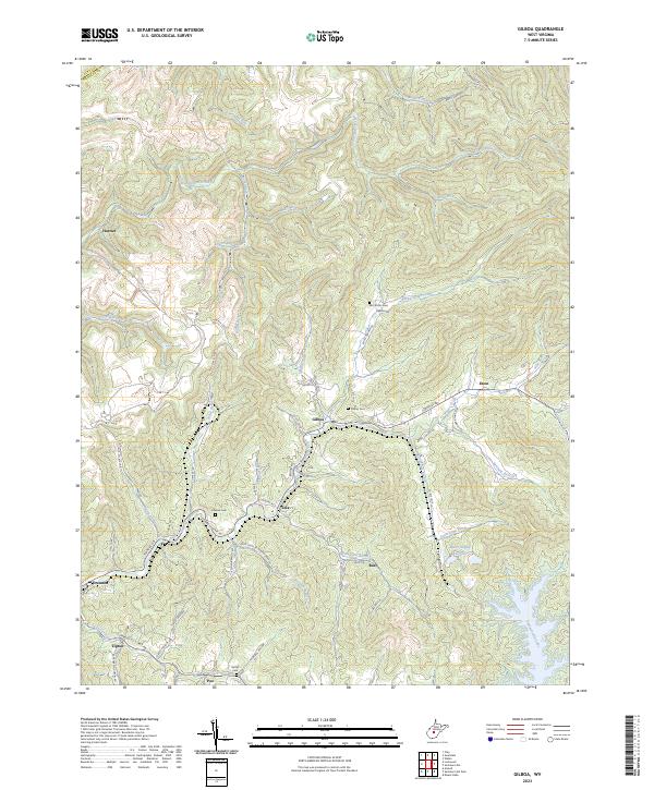
2023 Lockwood
Nicholas County, WV
2023 Mount Nebo
Nicholas County, WV
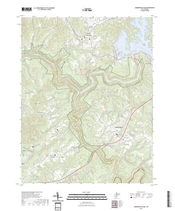
2023 Summersville Dam
Nicholas County, WV
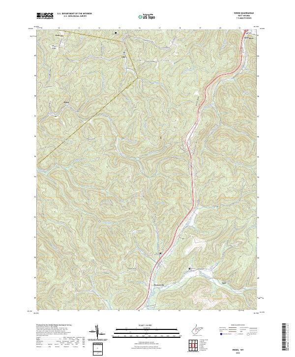
2023 Widen
Nicholas County, WV