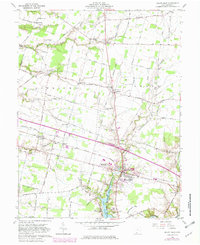
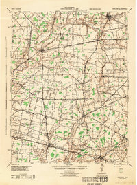
1960 Map of Mount Orab
USGS Topo · Published 1982About this map
Mount Orab serves as the focal point of this Brown County landscape, situated where the Norfolk and Western railroad intersects the regional road network. The map reveals a dense distribution of small rural communities and named crossroads, including Centerville, Greenbush, and Bardwell, which suggest a well-established agricultural economy in the early 1960s. These settlements are often centered around local institutions such as Union Plains Ch, Liberty Chapel, and the Mt Orab High Sch.
Find a feature on this map
97 named features on this map. Tap any name to fly to it.
Don’t see what you’re looking for? This feature index may not catch every label — zoom into the map to look around manually.
Map Details
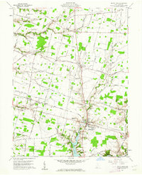
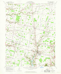
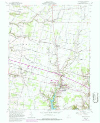
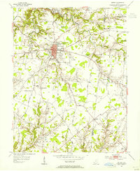
Editions of this 1960 Mount Orab Map
4 editions found
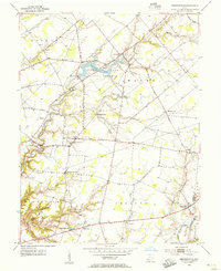
Other maps of this area

1914 · Batavia
USGS Topo · 1:48,000

1916 · Batavia
USGS Topo · 1:62,500

1917 · Sardinia
USGS Topo · 1:62,500

1928 · Higginsport
USGS Topo · 1:48,000

1931 · Felicity
USGS Topo · 1:62,500

1931 · Higginsport
USGS Topo · 1:62,500
1944 · Sardinia
USGS Topo · 1:62,500

1947 · Columbus
USGS Topo · 1:250,000
1953 · Bethel
USGS Topo · 1:24,000
1953 · Newtonsville
USGS Topo · 1:24,000