2022 Map of Mount Vernon
USGS Topo · Published 2022About this map
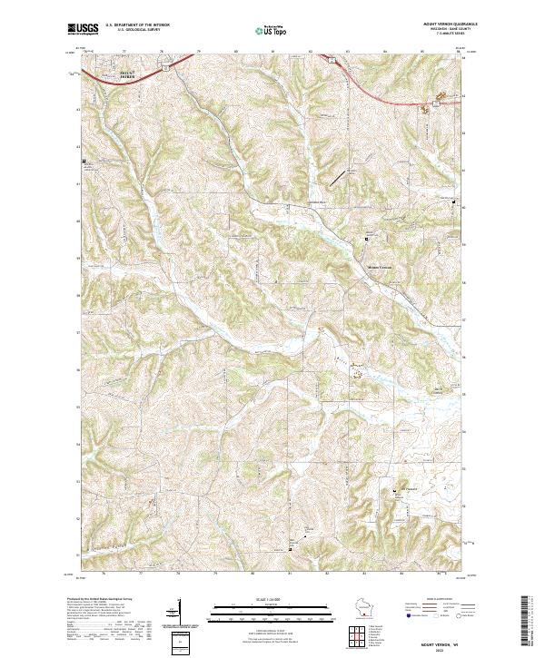
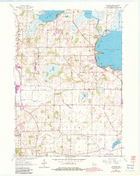
Mount Vernon serves as the focal point for this section of Dane County, situated where Mount Vernon Cr meets the W Br Sugar River. The landscape is defined by the winding paths of Britt Valley and Kittleson Valley, alongside prominent geological formations such as Donald Rock and the curiously named Devils Chimney. For genealogists, the map is particularly helpful as it identifies several rural burial grounds, including Mount Vernon Cem, East Primrose Cem, and the East Blue Mounds Lutheran Cem near the western boundary. The settlement pattern remains largely agricultural, with small clusters like Hecklers Strip and Mt Pleasant connected by a network of county highways and named local roads such as Dairy Ridge Rd and Springdale Center Rd.
Find a feature on this map
90 named features on this map. Tap any name to fly to it.
Don’t see what you’re looking for? This feature index may not catch every label — zoom into the map to look around manually.
Map Details
Editions of this 2022 Mount Vernon Map
This is the sole edition of this map. No revisions or reprints were ever made.
Historical Maps of Dane County Through Time
17 maps found
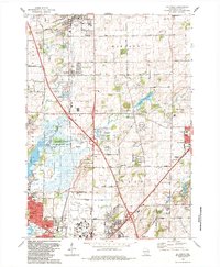
1959 De Forest
Dane County, WI
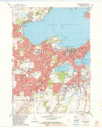
1959 Madison East
Dane County, WI
1959 Madison West
Dane County, WI
1961 Rutland
Dane County, WI
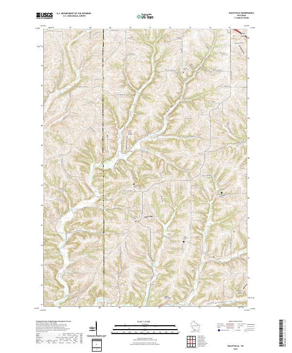
1962 Daleyville
Dane County, WI
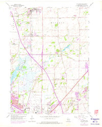
1962 Mt. Vernon
Dane County, WI
1962 Springfield Corners
Dane County, WI
1983 De Forest
Dane County, WI

1983 Madison East
Dane County, WI
1983 Madison West
Dane County, WI
2022 Daleyville
Dane County, WI
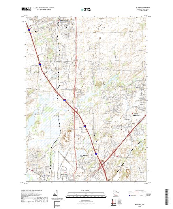
2022 De Forest
Dane County, WI
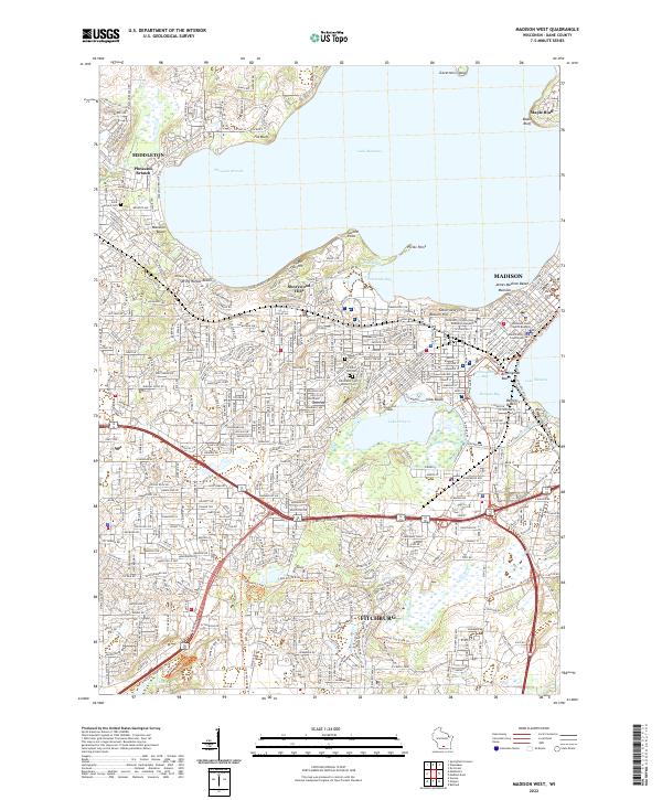
2022 Madison West
Dane County, WI
2022 Mount Vernon
Dane County, WI
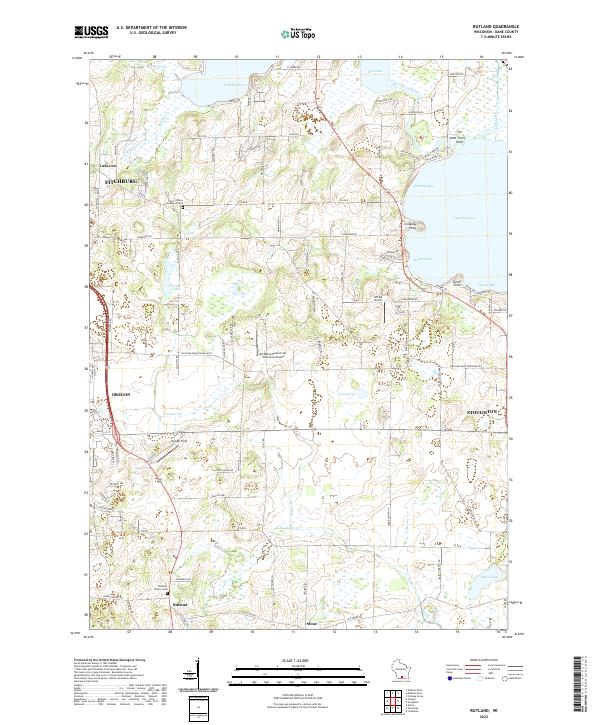
2022 Rutland
Dane County, WI
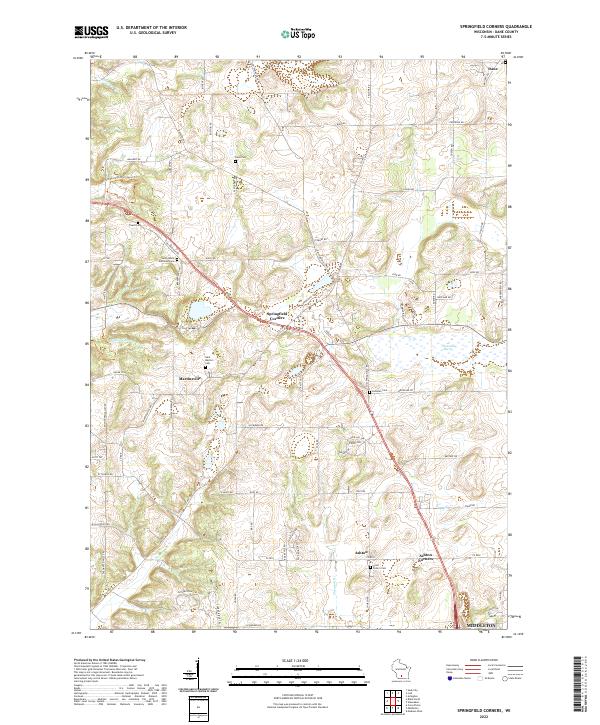
2022 Springfield Corners
Dane County, WI
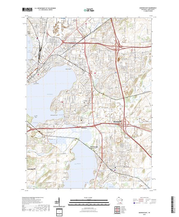
2023 Madison East
Dane County, WI