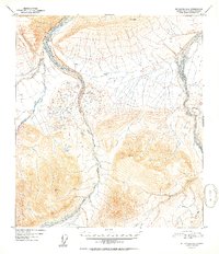
1952 Map of Mt. Hayes D-6
USGS Topo · Published 1952About this map
Little Delta River and the braided channels of Delta Creek dominate this 1952 topographic study of the Alaska interior. The landscape is defined by its glacial hydrology, where the West Fork and East Fork converge among a network of smaller tributaries like Iowa Creek and Buchanan Creek. Mapping this territory required precise geodetic control, evidenced by survey benchmarks such as VABM 5932 Dyer and VABM 5322 Aux that mark high-elevation points above the river valleys. This document captures the terrain as it was recorded from 1949 aerial photography, providing a detailed record of the shifting riverbeds and the drainage patterns of Ptarmigan Creek before later environmental changes. The lack of roads or permanent settlements highlights the wilderness character of the Fourth Judicial Division during the mid-century era.
Find a feature on this map
10 named features on this map. Tap any name to fly to it.
Don’t see what you’re looking for? This feature index may not catch every label — zoom into the map to look around manually.
Map Details
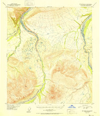
Editions of this 1952 Mt. Hayes D-6 Map
2 editions found
Other maps of this area

1949 · Big Delta A-6
USGS Topo · 1:63,360

1949 · Fairbanks A-1
USGS Topo · 1:63,360

1949 · Healy D-1
USGS Topo · 1:63,360

1950 · Fairbanks
USGS Topo · 1:250,000

1950 · Mount Hayes
USGS Topo · 1:250,000

1950 · Big Delta
USGS Topo · 1:250,000

1950 · Big Delta A-5
USGS Topo · 1:63,360

1950 · Mount Hayes D-6
USGS Topo · 1:63,360

1950 · Mount Hayes D-5
USGS Topo · 1:63,360

1951 · Healy
USGS Topo · 1:250,000