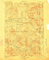
1902 Map of Mt Leidy
USGS Topo · Published 1911About this map
Continental Divide crests through the eastern reaches of this high-country landscape, where the headwaters of the Wind River and Buffalo River begin their divergent paths. This 1899 survey, updated in 1911, documents a wilderness defined by the boundaries of the Teton National Forest and Bonneville National Forest. Historical transit is marked by the Sheridan Trail, which cuts through the southern terrain, and the vital mountain crossing at Twogwotee Pass.
Find a feature on this map
67 named features on this map. Tap any name to fly to it.
Don’t see what you’re looking for? This feature index may not catch every label — zoom into the map to look around manually.
Map Details
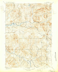
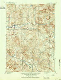
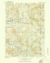
Editions of this 1902 Mt Leidy Map
5 editions found

Other maps of this area

1885 · Lake
USGS Topo · 1:125,000

1886 · Shoshone
USGS Topo · 1:125,000

1888 · Shoshone
USGS Topo · 1:125,000

1893 · Ishawooa
USGS Topo · 1:125,000

1895 · Shoshone
USGS Topo · 1:125,000

1895 · Ishawooa
USGS Topo · 1:125,000

1895 · Lake
USGS Topo · 1:125,000

1896 · Lake
USGS Topo · 1:125,000

1899 · Ishawooa
USGS Topo · 1:125,000

1899 · Grand Teton
USGS Topo · 1:125,000