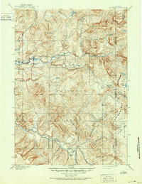
1902 Map of Mt Leidy
USGS Topo · Published 1951About this map
The high mountain wilderness of the Teton National Forest dominates this landscape, as documented during the 1899 survey by G.E. Hyde and Frank Tweedy. This territory, situated east of what is now Grand Teton National Park, is defined by the winding course of the Buffalo River and the high Continental Divide crest. The map captures the complex drainage systems of the Gros Ventre River and Pacific Creek, revealing a landscape where early travel relied on established routes like the Sheridan Trail. Named landmarks like Dick Turpin Meadow and Blackrock Meadows suggest the early utilization of alpine basins for grazing or seasonal passage. Historical transit through the mountains is anchored by Togwotee Pass and Bear Cub Pass, providing a clear record of the geographic gateways used before modern highway development.
Find a feature on this map
55 named features on this map. Tap any name to fly to it.
Don’t see what you’re looking for? This feature index may not catch every label — zoom into the map to look around manually.
Map Details
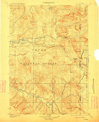
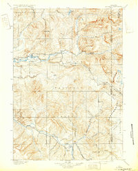
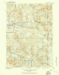
Editions of this 1902 Mt Leidy Map
5 editions found

Other maps of this area

1885 · Lake
USGS Topo · 1:125,000

1886 · Shoshone
USGS Topo · 1:125,000

1888 · Shoshone
USGS Topo · 1:125,000

1893 · Ishawooa
USGS Topo · 1:125,000

1895 · Shoshone
USGS Topo · 1:125,000

1895 · Ishawooa
USGS Topo · 1:125,000

1895 · Lake
USGS Topo · 1:125,000

1896 · Lake
USGS Topo · 1:125,000

1899 · Ishawooa
USGS Topo · 1:125,000

1899 · Grand Teton
USGS Topo · 1:125,000