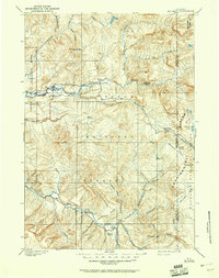
1902 Map of Mt Leidy
USGS Topo · Published 1951About this map
The Continental Divide snake-like through the eastern reaches of this Wyoming landscape, defining the watershed where the Wind River begins its journey. This 1899 survey, based on topography by G.E. Hyde, highlights a wilderness of high meadows and mountain passes before modern road networks dominated the high country. Centered on the prominence of Mt. Leidy, the map reveals a network of watercourses including the Gros Ventre River and the braided Buffalo Fork. Human presence is sparse, marked by the lonely Cafe Hollow and the North Sheridan Trail, which cuts across the southern portion of the sheet. Notable high-altitude grazing and resting spots like Dick Turpin Meadow and Blackrock Meadow indicate the historical routes used by travelers and early forest rangers navigating through the Teton National Forest and the edge of Grand Teton National Park.
Find a feature on this map
58 named features on this map. Tap any name to fly to it.
Don’t see what you’re looking for? This feature index may not catch every label — zoom into the map to look around manually.
Map Details
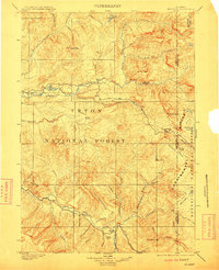
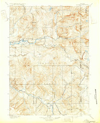
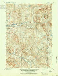
Editions of this 1902 Mt Leidy Map
5 editions found

Other maps of this area

1885 · Lake
USGS Topo · 1:125,000

1886 · Shoshone
USGS Topo · 1:125,000

1888 · Shoshone
USGS Topo · 1:125,000

1893 · Ishawooa
USGS Topo · 1:125,000

1895 · Shoshone
USGS Topo · 1:125,000

1895 · Ishawooa
USGS Topo · 1:125,000

1895 · Lake
USGS Topo · 1:125,000

1896 · Lake
USGS Topo · 1:125,000

1899 · Ishawooa
USGS Topo · 1:125,000

1899 · Grand Teton
USGS Topo · 1:125,000