
1901 Map of Mt. Lyell
USGS Topo · Published 1901About this map
Yosemite National Park occupies the core of this late-nineteenth-century study, revealing the high-altitude landscape before the establishment of modern infrastructure. The central corridor is defined by Tuolumne Meadows and the surrounding granite formations of Lambert Dome and Fairview Dome. This era of the park reflects a transition from early pioneer exploration to formal federal protection, with the Sierra Forest Reserve bordering the southern reaches. Topographer R.B. Marshall and his team documented the intricate drainage systems of the Cathedral River and Merced Lake, along with vital high-country landmarks like Soda Springs. The map traces early transit points such as Miller Bridge and Sheep Crossing, providing a clear view of the primitive trail networks that connected the central Sierra Nevada summits with Little Yosemite Valley and the northern lakes.
Find a feature on this map
195 named features on this map. Tap any name to fly to it.
Don’t see what you’re looking for? This feature index may not catch every label — zoom into the map to look around manually.
Map Details
Editions of this 1901 Mt. Lyell Map
12 editions found
1901 edition
16.5 x 19.9 inches
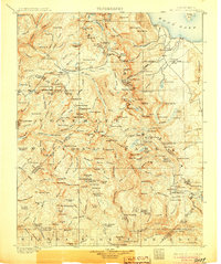
1905 edition
16.6 x 19.8 inches
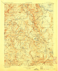
1908 edition
16.5 x 20 inches
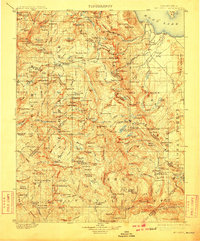
1910 edition
16.5 x 19.9 inches
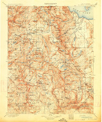
1914 edition
16.5 x 19.8 inches
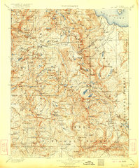
1922 edition
16.5 x 19.8 inches
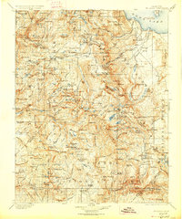
1927 edition
16.5 x 19.9 inches
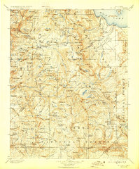
1929 edition
16.5 x 19.9 inches
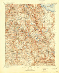
1944 edition
16.6 x 20.7 inches
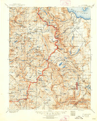
1948 edition
16.6 x 20.7 inches
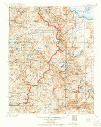
1950 edition
16.6 x 20.7 inches
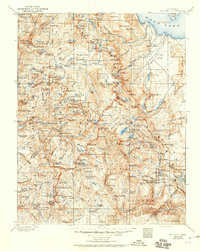
1950 edition
16.5 x 20.8 inches
Other maps of this area

1896 · Dardanelles
USGS Topo · 1:125,000

1897 · Yosemite
USGS Topo · 1:125,000

1898 · Dardanelles
USGS Topo · 1:125,000

1900 · Yosemite
USGS Topo · 1:125,000

1903 · Yosemite
USGS Topo · 1:125,000

1904 · Kaiser
USGS Topo · 1:125,000

1909 · Yosemite
USGS Topo · 1:125,000

1909 · Hawthorne
USGS Topo · 1:250,000

1909 · Bridgeport
USGS Topo · 1:125,000

1911 · Bridgeport
USGS Topo · 1:125,000