
1914 Map of Mt. Morrison
USGS Topo · Published 1914About this map
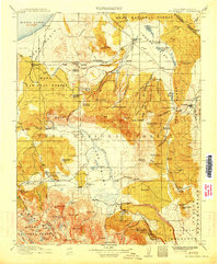
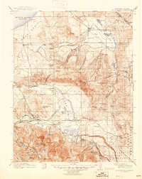
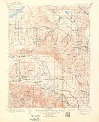
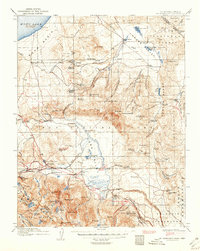
Mono Basin and the eastern slopes of the high Sierra are documented here just before the mid-century, showing a landscape defined by isolated ranching outposts and early timber operations. The northern reach is anchored by the Mono Mills site near the shores of Mono Lake, while the expansive Adobe Valley contains several established homesteads including the Adobe Ranch and River Spring Ranch. These settlements were critical nodes in an arid high-desert environment, often situated near vital water sources like River Spring and Cowtrack Spring.
Find a feature on this map
118 named features on this map. Tap any name to fly to it.
Don’t see what you’re looking for? This feature index may not catch every label — zoom into the map to look around manually.
Map Details
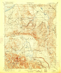
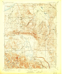
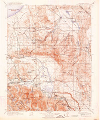
Editions of this 1914 Mt. Morrison Map
8 editions found
Other maps of this area

1901 · Mt. Lyell
USGS Topo · 1:125,000

1904 · Kaiser
USGS Topo · 1:125,000

1909 · Hawthorne
USGS Topo · 1:250,000

1909 · Bridgeport
USGS Topo · 1:125,000

1911 · Bridgeport
USGS Topo · 1:125,000

1911 · Hawthorne
USGS Topo · 1:250,000

1912 · Mt. Goddard
USGS Topo · 1:125,000

1913 · Bishop
USGS Topo · 1:125,000

1915 · Hawthorne
USGS Topo · 1:250,000

1917 · White Mountain
USGS Topo · 1:125,000