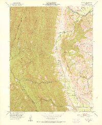
1951 Map of Mt. Vaca
USGS Topo · Published 1952About this map
Pleasants Valley serves as a pastoral corridor between the high peaks of the Blue Mountains and the lower English Hills during the early 1950s. The landscape is defined by the sharp transition from the steep terrain of Pleasants Ridge and Blue Ridge down to the fertile flats of the valley floor, where Pleasants Valley Road connects rural homesteads. This era shows a community in transition, evidenced by the Rhine School (Abandoned) near Mix Canyon while other institutions like Pleasants Valley School and Oakdale Sch remained active. Working cattle and agricultural properties like Pioneer Ranch and Bar B Ranch are established along the drainage of Putah Creek and Rio De Los Putos. The map documents a rugged interior of canyons such as Miller Canyon and Wild Horse Canyon, with the heights of Mt Vaca and Signal Hill marking the boundary between Solano and Napa counties.
Find a feature on this map
36 named features on this map. Tap any name to fly to it.
Don’t see what you’re looking for? This feature index may not catch every label — zoom into the map to look around manually.
Map Details
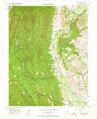
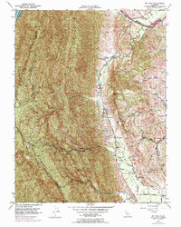
Editions of this 1951 Mt. Vaca Map
3 editions found
Other maps of this area

1902 · Napa
USGS Topo · 1:125,000

1907 · Woodland
USGS Topo · 1:62,500

1908 · Vacaville
USGS Topo · 1:62,500

1916 · Winters
USGS Topo · 1:31,680

1917 · Wolfskill
USGS Topo · 1:31,680

1917 · Elmira
USGS Topo · 1:31,680

1921 · Mt. Vaca
USGS Topo · 1:62,500

1924 · Capay
USGS Topo · 1:62,500
1941 · Vacaville
USGS Topo · 1:62,500
1941 · Woodland
USGS Topo · 1:62,500