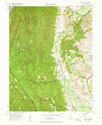
1951 Map of Mt. Vaca
USGS Topo · Published 1963About this map
Pleasants Valley serves as the central artery of this mid-century landscape, nestled between the Blue Vaca Mountains to the west and the English Hills to the east. The map records a rural agricultural and ranching economy just as modern water management began to reshape the region, evidenced by the presence of Lake Berryessa in the northwest corner and the ancient naming of Rio De Los Putos along the Solano and Yolo county line.
Find a feature on this map
35 named features on this map. Tap any name to fly to it.
Don’t see what you’re looking for? This feature index may not catch every label — zoom into the map to look around manually.
Map Details
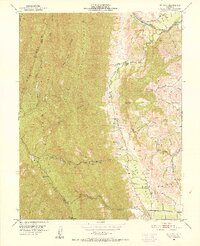
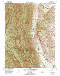
Editions of this 1951 Mt. Vaca Map
3 editions found
Other maps of this area

1902 · Napa
USGS Topo · 1:125,000

1907 · Woodland
USGS Topo · 1:62,500

1908 · Vacaville
USGS Topo · 1:62,500

1916 · Winters
USGS Topo · 1:31,680

1917 · Wolfskill
USGS Topo · 1:31,680

1917 · Elmira
USGS Topo · 1:31,680

1921 · Mt. Vaca
USGS Topo · 1:62,500

1924 · Capay
USGS Topo · 1:62,500
1941 · Vacaville
USGS Topo · 1:62,500
1941 · Woodland
USGS Topo · 1:62,500