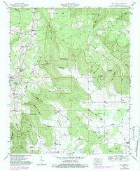
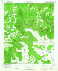
1948 Map of Mud Creek
USGS Topo · Published 1987About this map
The Cumberland Plateau and Cumberland Mountain dominate this Jackson County landscape, characterized by complex drainage systems and isolated settlements. In the mid-century, the community of Skyline serves as a local hub, supported by the Skyline Sch and Skyline Ch. The terrain is marked by numerous family-named hollows and points, such as Goshen Hollow and Clemmons Point, reflecting the genealogical deep roots of the area. A high concentration of cemeteries including Sanders Cem, Proctor Cem, and Bynum Cem are scattered across the coves and flats. Local infrastructure is evidenced by the Pipeline crossing the northern terrain and the network of roads connecting small settlements like Cornelison and Kyles. The topographical detail captures natural landmarks like The Buzzard Roost and the dramatic drop of The Slipoff, providing a clear view of the rural Alabama uplands before modern development.
Find a feature on this map
70 named features on this map. Tap any name to fly to it.
Don’t see what you’re looking for? This feature index may not catch every label — zoom into the map to look around manually.
Map Details
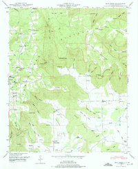
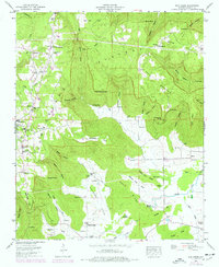
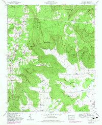
Editions of this 1948 Mud Creek Map
5 editions found
Other maps of this area

1886 · Stevenson
USGS Topo · 1:125,000

1888 · Scottsboro
USGS Topo · 1:125,000

1892 · Scottsboro
USGS Topo · 1:125,000

1892 · Stevenson
USGS Topo · 1:125,000

1895 · Stevenson
USGS Topo · 1:125,000

1936 · Scottsboro
USGS Topo · 1:24,000

1936 · Wannville
USGS Topo · 1:24,000

1936 · Mud Creek
USGS Topo · 1:24,000

1936 · Hytop
USGS Topo · 1:24,000

1936 · Princeton
USGS Topo · 1:24,000