
1961 Map of Mulberry
USGS Topo · Published 1962About this map
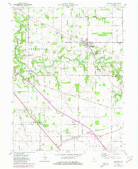
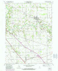
The town of Mulberry serves as the central hub of this 1961 landscape, situated at the junction of the New York Chicago and St Louis RR and the New York Chicago and St Louis Road. The surrounding agricultural countryside across Madison, Sheffield, and Lauramie townships is dotted with small rural burial grounds like Abbot Cem, Holladay Cem, and Newcomer Cem, providing a dense record of local family history. Along the winding South Fork Wildcat Creek, the terrain transitions into recreational and conservation areas including the Wildcat Conservation Club and Camp George Cullom. Further south, the map captures smaller rail-adjacent communities like Fickle and Monroe, as well as the Clover Leaf Ch, illustrating the traditional patterns of settlement and worship in Clinton Co and Tippecanoe Co.
Find a feature on this map
30 named features on this map. Tap any name to fly to it.
Don’t see what you’re looking for? This feature index may not catch every label — zoom into the map to look around manually.
Map Details
Editions of this 1961 Mulberry Map
Other maps of this area

1953 · Danville
USGS Topo · 1:250,000

1955 · Danville
USGS Topo · 1:250,000

1956 · Danville
USGS Topo · 1:250,000

1958 · Kirkpatrick
USGS Topo · 1:24,000

1961 · Pyrmont
USGS Topo · 1:24,000

1961 · Stockwell
USGS Topo · 1:24,000

1961 · Lafayette East
USGS Topo · 1:24,000

1961 · Rossville
USGS Topo · 1:24,000

1961 · Frankfort
USGS Topo · 1:24,000
1962 · Thorntown
USGS Topo · 1:24,000