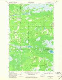
1968 Map of Mulligan Lake
USGS Topo · Published 1981About this map
Beltrami Island State Forest dominates this northern Minnesota landscape at the intersection of Roseau, Beltrami, and Lake of the Woods counties. The 1968 survey reveals a terrain defined by extensive wetlands and conservation lands, including portions of the Red Lake Indian Reservation and the Red Lake State Wildlife Management Area. The Roseau River winds through the central portion of the map, while Mulligan Lake and Hansen Creek drain the surrounding marshes. Human activity is sparse, marked primarily by a network of Jeep Trails and occasional industrial sites like a Gravel Pit. A single Cem label near the county line suggests an early pioneer presence or isolated homesteading effort in this remote boreal environment.
Find a feature on this map
12 named features on this map. Tap any name to fly to it.
Don’t see what you’re looking for? This feature index may not catch every label — zoom into the map to look around manually.
Map Details
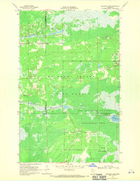
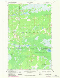
Editions of this 1968 Mulligan Lake Map
3 editions found
Other maps of this area

1918 · Winterroad
USGS Topo · 1:62,500

1918 · F
USGS Topo · 1:62,500

1918 · Malcolm
USGS Topo · 1:62,500

1954 · Roseau
USGS Topo · 1:250,000

1957 · Roseau
USGS Topo · 1:250,000

1958 · Roseau
USGS Topo · 1:250,000

1968 · Mulligan Lake SW
USGS Topo · 1:24,000
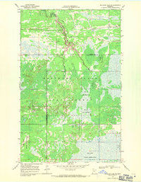
1968 · Mulligan Lake NE
USGS Topo · 1:24,000
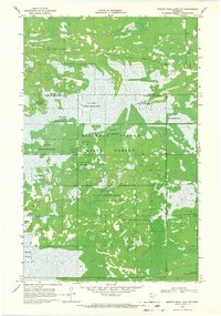
1968 · Winter Road Lake NW
USGS Topo · 1:24,000
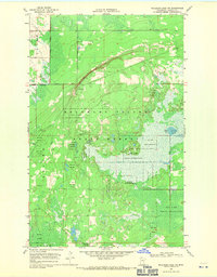
1968 · Mulligan Lake NW
USGS Topo · 1:24,000