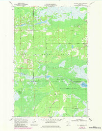
1968 Map of Mulligan Lake
USGS Topo · Published 1984About this map
Beltrami Island State Forest dominates this northern Minnesota landscape, where the shifting boundaries of Roseau, Beltrami, and Lake of the Woods counties meet. The terrain is defined by a vast network of wetlands and conservation lands, including the Red Lake Indian Reservation and the Red Lake State Wildlife Management Area. A system of Jeep Trails provides the primary overland access through these marshy reaches, connecting small industrial sites like a Gravel Pit to the surrounding wilderness. The hydrology of the region is centered on the slow-moving Roseau River, which winds eastward toward Mulligan Lake, while Hansen Creek drains the northern section of the forest. This survey reflects a period when this remote borderland remained largely focused on state-managed natural resources and indigenous land rights.
Find a feature on this map
11 named features on this map. Tap any name to fly to it.
Don’t see what you’re looking for? This feature index may not catch every label — zoom into the map to look around manually.
Map Details
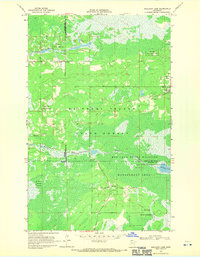
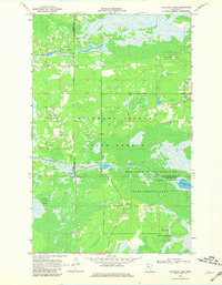
Editions of this 1968 Mulligan Lake Map
3 editions found
Other maps of this area

1918 · Winterroad
USGS Topo · 1:62,500

1918 · F
USGS Topo · 1:62,500

1918 · Malcolm
USGS Topo · 1:62,500

1954 · Roseau
USGS Topo · 1:250,000

1957 · Roseau
USGS Topo · 1:250,000

1958 · Roseau
USGS Topo · 1:250,000

1968 · Mulligan Lake SW
USGS Topo · 1:24,000
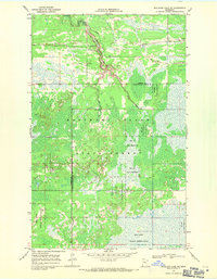
1968 · Mulligan Lake NE
USGS Topo · 1:24,000
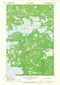
1968 · Winter Road Lake NW
USGS Topo · 1:24,000
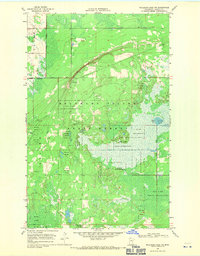
1968 · Mulligan Lake NW
USGS Topo · 1:24,000