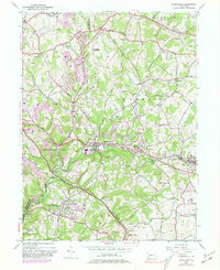
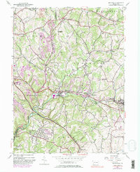
1953 Map of Murrysville
USGS Topo · Published 1981About this map
Murrysville sits at the heart of this landscape where the William Penn Highway and Penn Central rail lines converge along the banks of Turtle Creek. The map documents a period of suburban expansion and industrial transition in western Westmoreland and eastern Allegheny counties. Numerous Strip Mines and gas wells dot the hillsides, illustrating the heavy extraction that defined the local economy during the mid-20th century.
Find a feature on this map
53 named features on this map. Tap any name to fly to it.
Don’t see what you’re looking for? This feature index may not catch every label — zoom into the map to look around manually.
Map Details
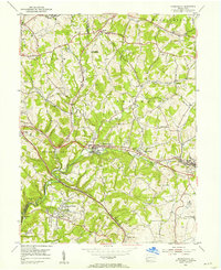
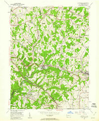
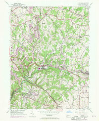
Editions of this 1953 Murrysville Map
5 editions found
Other maps of this area

1904 · Mc Keesport
USGS Topo · 1:62,500

1904 · Greensburg
USGS Topo · 1:62,500

1906 · Greensburg
USGS Topo · 1:62,500

1907 · Pittsburg
USGS Topo · 1:62,500

1907 · Freeport
USGS Topo · 1:62,500

1908 · New Kensington
USGS Topo · 1:62,500

1909 · Freeport
USGS Topo · 1:62,500

1910 · New Kensington
USGS Topo · 1:62,500

1953 · Pittsburgh
USGS Topo · 1:250,000
1953 · Mc Keesport
USGS Topo · 1:24,000