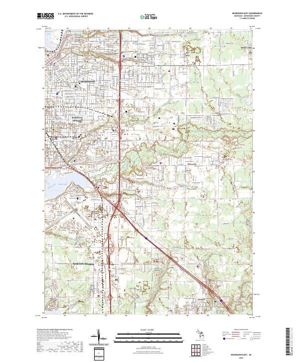
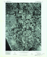
2023 Map of Muskegon East
USGS Topo · Published 2023About this map
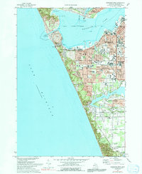
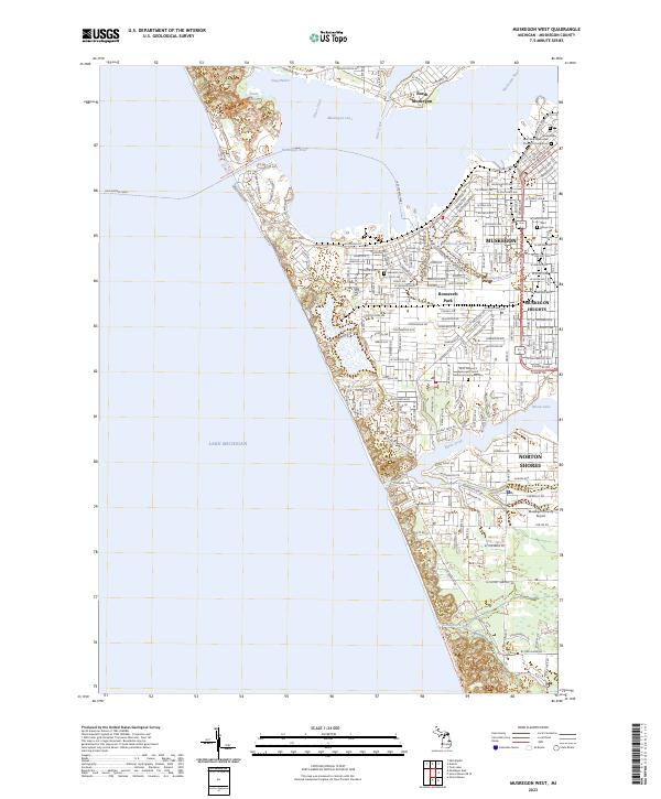
Muskegon and Muskegon Heights anchor the northwestern portion of this 2023 survey, revealing a landscape defined by industrial development, aviation, and a complex network of waterways. The urban grid transitions into the residential communities of Norton Shores and Cloverville, while the southern reaches near Fruitport maintain a more fractured, wetland-influenced character. Notable infrastructure including the Muskegon County Airport and Baker College of Muskegon signifies the region's modern role as a regional hub.
Find a feature on this map
34 named features on this map. Tap any name to fly to it.
Don’t see what you’re looking for? This feature index may not catch every label — zoom into the map to look around manually.
Map Details
Editions of this 2023 Muskegon East Map
This is the sole edition of this map. No revisions or reprints were ever made.
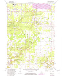
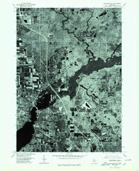
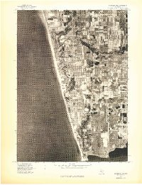
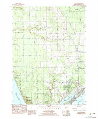
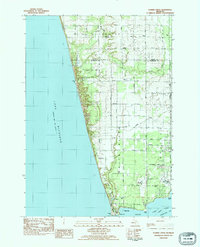
Historical Maps of Muskegon Charter Township Through Time
27 maps found
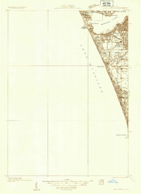
1930 Lake Harbor
Muskegon County, MI
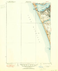
1936 Lake Harbor
Muskegon County, MI
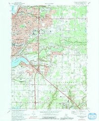
1972 Muskegon East
Muskegon County, MI
1972 Muskegon West
Muskegon County, MI
1972 Sullivan
Muskegon County, MI
1976 Montague NE
Muskegon County, MI
1976 Montague NW
Muskegon County, MI
1976 Montague SE
Muskegon County, MI
1976 Montague SW
Muskegon County, MI

1976 Twin Lake NE
Muskegon County, MI

1976 Twin Lake NW
Muskegon County, MI

1976 Twin Lake SE
Muskegon County, MI

1976 Twin Lake SW
Muskegon County, MI
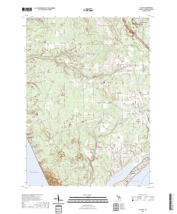
1983 Dalton
Muskegon County, MI
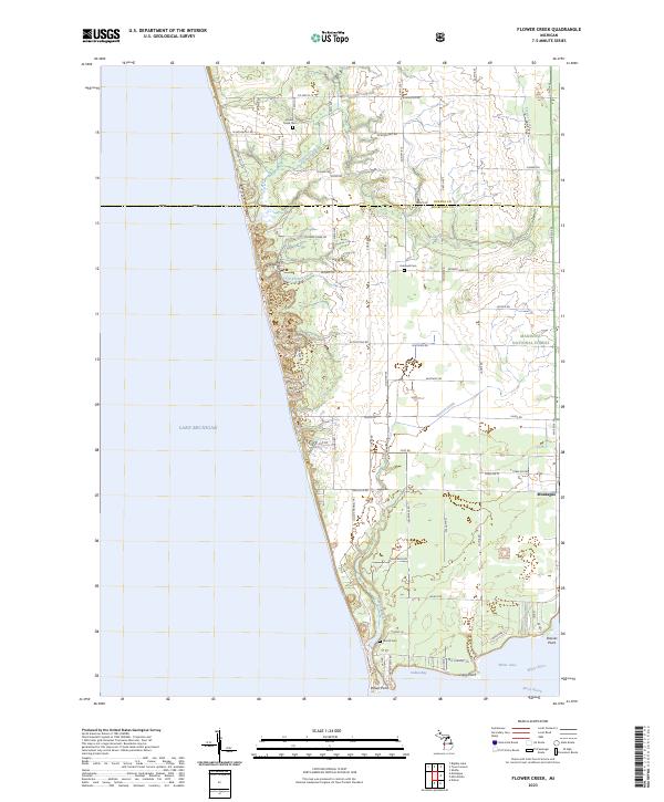
1983 Flower Creek
Muskegon County, MI
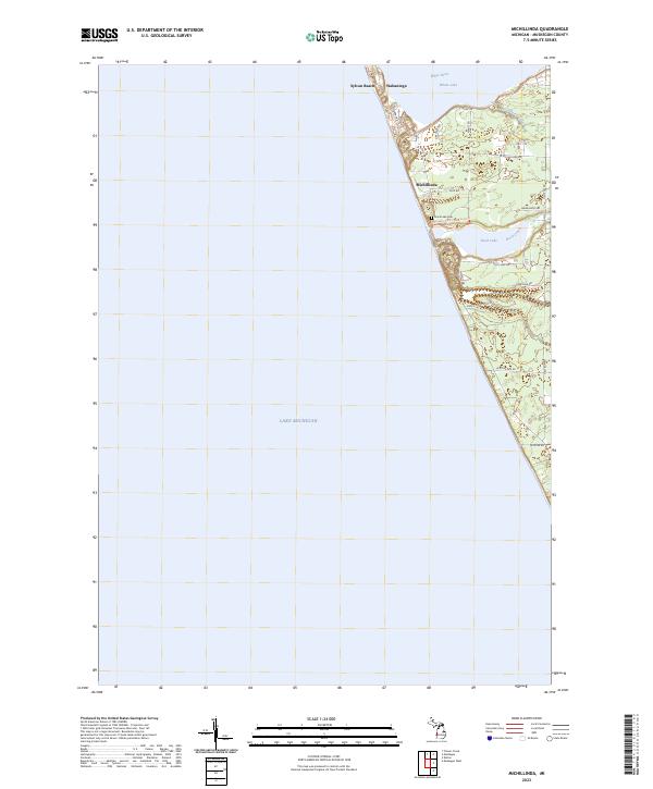
1983 Michillinda
Muskegon County, MI
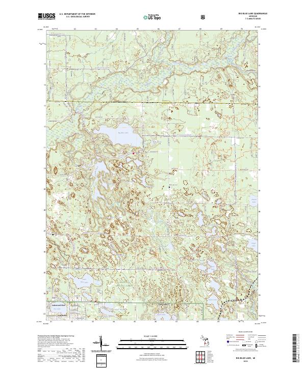
1985 Big Blue Lake
Muskegon County, MI

1985 Holton
Muskegon County, MI
2023 Big Blue Lake
Muskegon County, MI
2023 Dalton
Muskegon County, MI
2023 Flower Creek
Muskegon County, MI
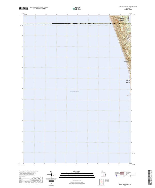
2023 Grand Haven OE W
Muskegon County, MI
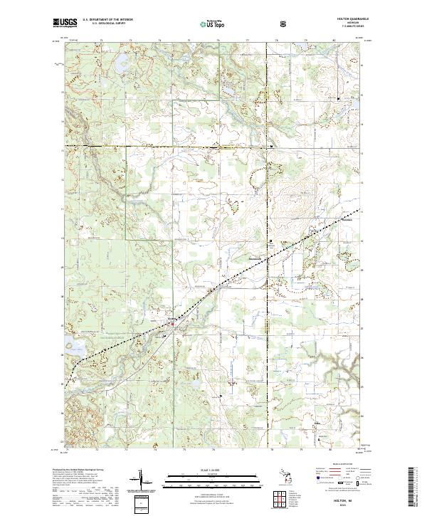
2023 Holton
Muskegon County, MI
2023 Michillinda
Muskegon County, MI
2023 Muskegon East
Muskegon County, MI
2023 Muskegon West
Muskegon County, MI
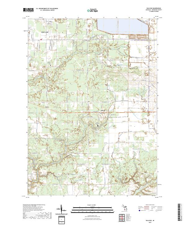
2023 Sullivan
Muskegon County, MI
Featured Locations
- Fruitport Charter Township, MI
- Muskegon, MI
- Muskegon Heights, MI
- Norton Shores, MI
- Fruitport, Fruitport Charter Township