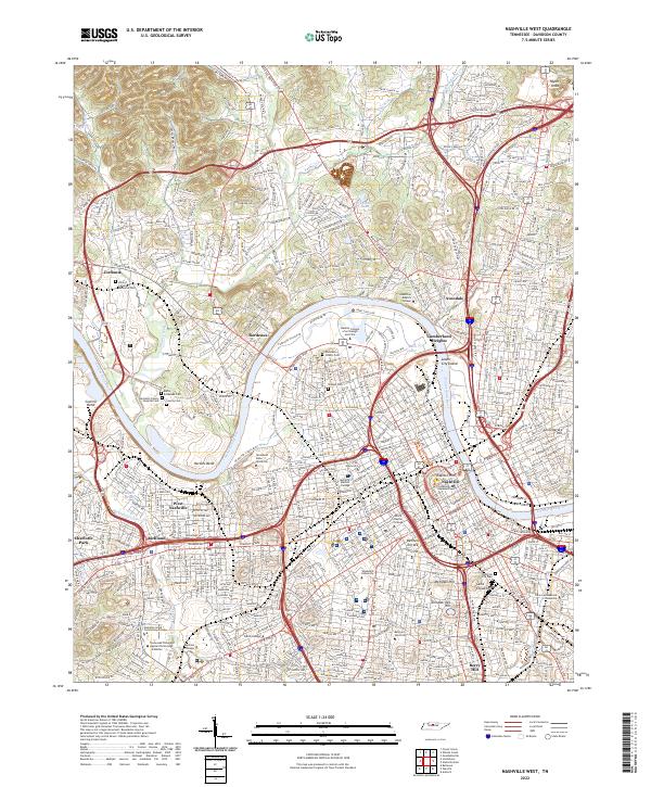
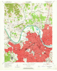
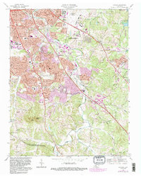
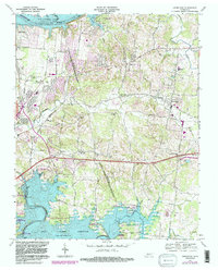
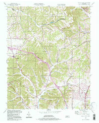
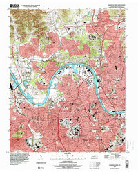
2022 Map of Nashville West
USGS Topo · Published 2022About this map
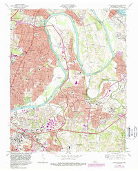
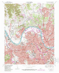
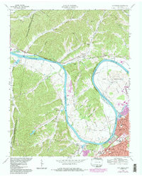
The Cumberland River carves a deep path through Davidson County, shaping the industrial and residential growth of the Tennessee state capital. The landscape is defined by its massive bends, notably Cockrill Bend and Hardins Bend, which have historically constrained and directed the expansion of neighborhoods like Bordeaux and West Nashville. Central to the area is the high density of educational and government institutions, from Vanderbilt University and Fisk University to the seat of power at Capitol Hill and the Tennessee Supreme Court.
Find a feature on this map
69 named features on this map. Tap any name to fly to it.
Don’t see what you’re looking for? This feature index may not catch every label — zoom into the map to look around manually.
Map Details
Editions of this 2022 Nashville West Map
This is the sole edition of this map. No revisions or reprints were ever made.
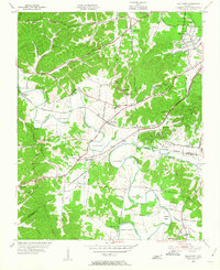
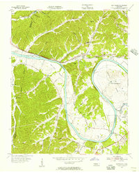
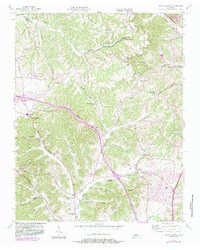
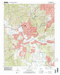
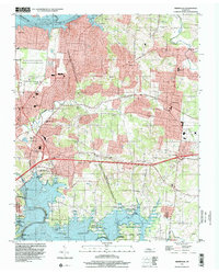
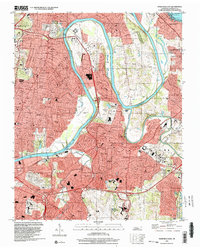
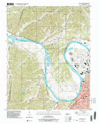
Historical Maps of Nashville Through Time
30 maps found
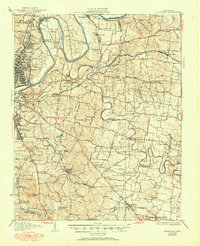
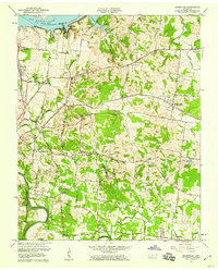
1932 Hermitage
Davidson County, TN
1952 Antioch
Davidson County, TN

1952 Hermitage
Davidson County, TN
1952 Nashville East
Davidson County, TN
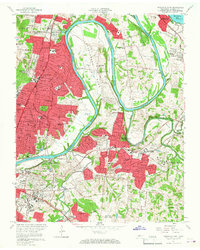
1952 Nashville West
Davidson County, TN
1955 Belleview
Davidson County, TN
1955 Scottsboro
Davidson County, TN
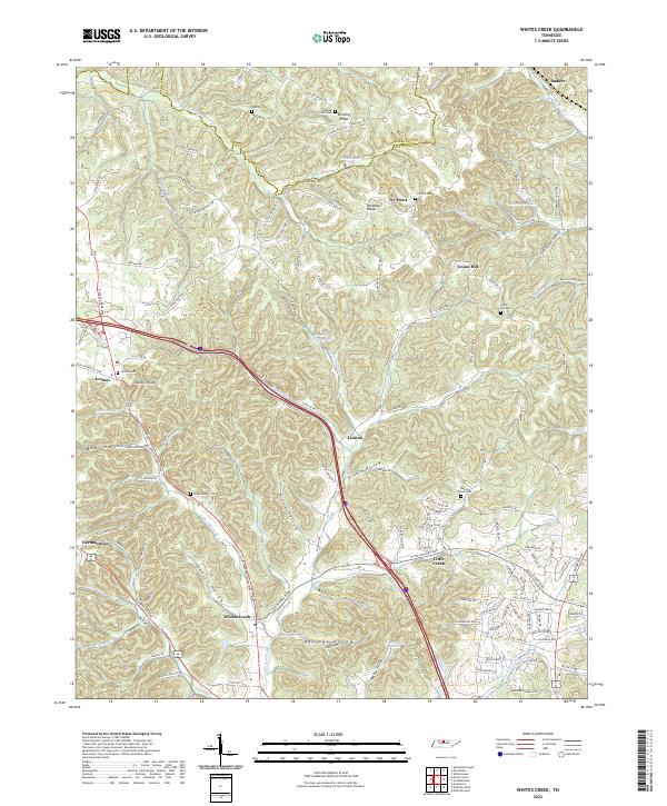
1955 Whites Creek
Davidson County, TN
1957 Hermitage
Davidson County, TN
1957 Nashville East
Davidson County, TN
1968 Antioch
Davidson County, TN
1968 Bellevue
Davidson County, TN
1968 Hermitage
Davidson County, TN
1968 Nashville East
Davidson County, TN
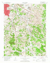
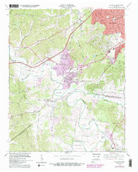
1968 Nashville West
Davidson County, TN
1968 Scottsboro
Davidson County, TN
1994 Whites Creek
Davidson County, TN
1997 Bellevue
Davidson County, TN
1997 Hermitage
Davidson County, TN
1997 Nashville East
Davidson County, TN
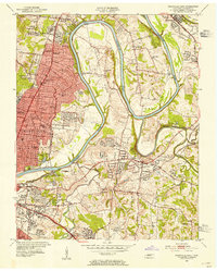
1997 Nashville West
Davidson County, TN
1997 Scottsboro
Davidson County, TN
1999 Antioch
Davidson County, TN
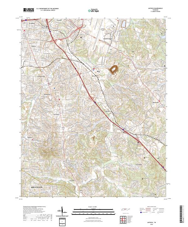
2022 Antioch
Davidson County, TN
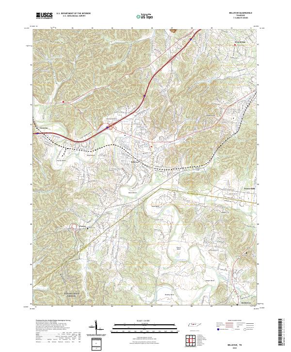
2022 Bellevue
Davidson County, TN
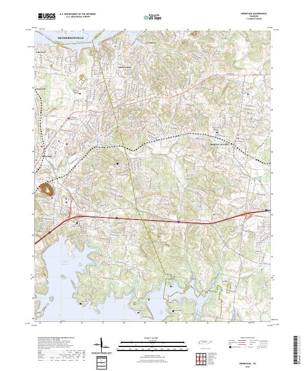
2022 Hermitage
Davidson County, TN
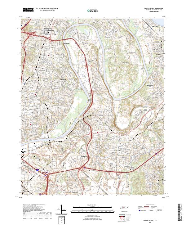
2022 Nashville East
Davidson County, TN
2022 Nashville West
Davidson County, TN
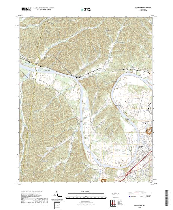
2022 Scottsboro
Davidson County, TN
2022 Whites Creek
Davidson County, TN
Featured Locations
- Berry Hill, TN
- Nashville, TN
- Cumberland Heights, Nashville
- Jordonia, Nashville
- North Nashville, Nashville