
1902 Map of Needle Mountains
USGS Topo · Published 1902About this map
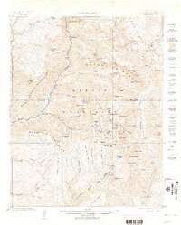
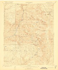
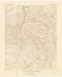
The Animas River corridor serves as the primary artery through this high-altitude landscape, tracked by the Denver and Rio Grande Railroad. Small, remote outposts like Needleton and Logtown cling to the river and its tributaries, while the high mining camp of Beartown sits tucked near the Continental Divide in the northeast. This 1902 survey, led by E.M. Douglas, reveals a wilderness at the height of its turn-of-the-century exploration, where the Needle Mountains and Grenadier Range are already defined by dozens of sharp summits and high basins. The isolation of these locales is evident in the sparse settlement pattern, with industry represented by the remote Quartz Mill on the lower reaches of the map. High-elevation waters like Molas Lake and the Chicago Basin suggest the challenging logistics for early miners and surveyors navigating this portion of the San Juan Mountains.
Find a feature on this map
88 named features on this map. Tap any name to fly to it.
Don’t see what you’re looking for? This feature index may not catch every label — zoom into the map to look around manually.
Map Details
Editions of this 1902 Needle Mountains Map
4 editions found
Other maps of this area

1897 · Telluride
USGS Topo · 1:62,500

1897 · Silverton
USGS Topo · 1:62,500

1898 · Durango
USGS Topo · 1:62,500

1898 · Engineer Mountain
USGS Topo · 1:62,500

1900 · Engineer Mountain
USGS Topo · 1:62,500

1900 · Needle Mountains
USGS Topo · 1:62,500

1901 · Silverton
USGS Topo · 1:62,500

1902 · Silverton
USGS Topo · 1:62,500

1904 · Telluride
USGS Topo · 1:62,500

1905 · San Cristobal
USGS Topo · 1:125,000