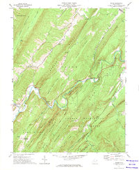
2023 Map of Needmore
USGS Topo · Published 2023About this map
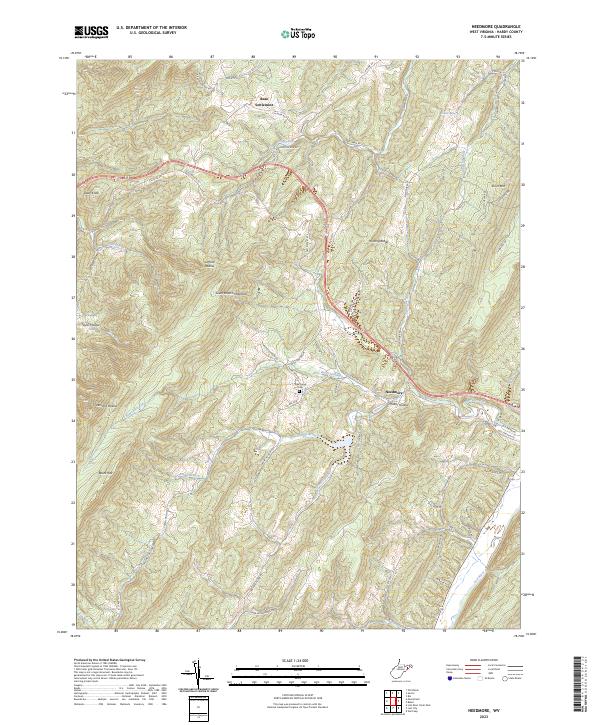
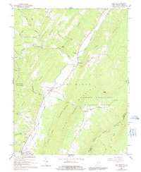
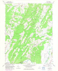
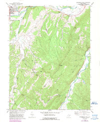
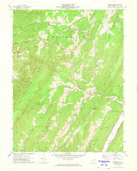
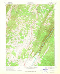
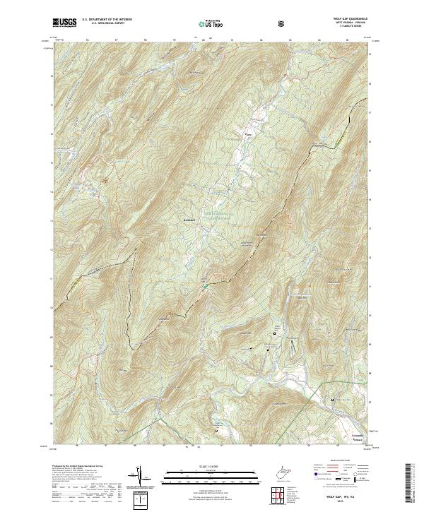
Bean Settlement and Needmore anchor this section of Hardy County, where the landscape is defined by the sharp, parallel ridges of South Branch Mountain and Short Mtn. Modern infrastructure like State Rd 55 and Old State Rte 55 traces the winding valleys, following the ancient logic of the terrain to connect these isolated communities. The map reveals a high concentration of named hollows and runs, such as Clifford Hollow and Skaggs Run, which speak to the historic settlement patterns of the Appalachian Highlands.
Find a feature on this map
72 named features on this map. Tap any name to fly to it.
Don’t see what you’re looking for? This feature index may not catch every label — zoom into the map to look around manually.
Map Details
Editions of this 2023 Needmore Map
This is the sole edition of this map. No revisions or reprints were ever made.
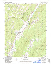
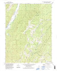
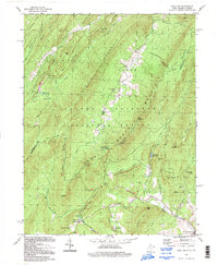
Historical Maps of Needmore Through Time
27 maps found

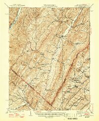
1921 Orkney Springs
Hardy County, WV
1923 Orkney Springs
Hardy County, WV
1940 Orkney Springs
Hardy County, WV
1943 Orkney Springs
Hardy County, WV

1944 Orkney Springs
Hardy County, WV
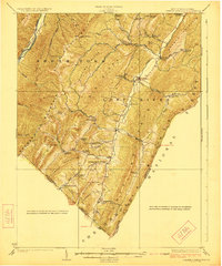
1966 Lost City
Hardy County, WV
1966 Wolf Gap
Hardy County, WV
1967 Lost River State Park
Hardy County, WV
1967 Milam
Hardy County, WV
1967 Rig
Hardy County, WV
1969 Petersburg East
Hardy County, WV
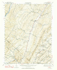
1970 Needmore
Hardy County, WV
1970 Old Fields
Hardy County, WV
1971 Baker
Hardy County, WV
1994 Lost City
Hardy County, WV
1994 Lost River State Park
Hardy County, WV
1994 Wolf Gap
Hardy County, WV
1999 Baker
Hardy County, WV
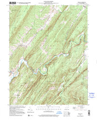
2023 Baker
Hardy County, WV
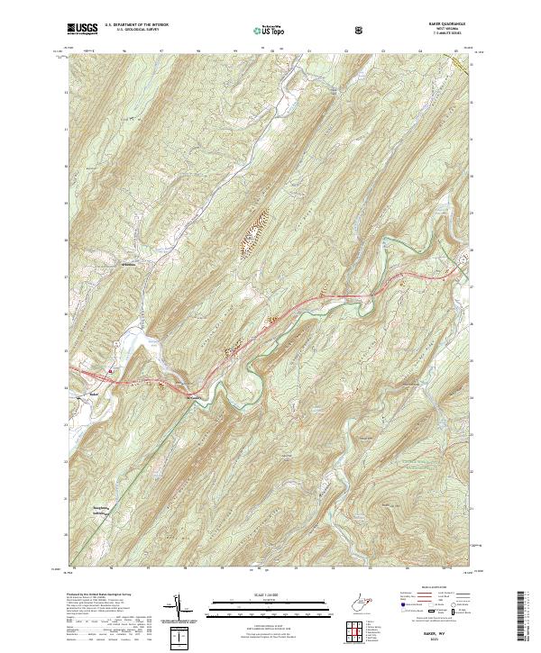
2023 Lost City
Hardy County, WV
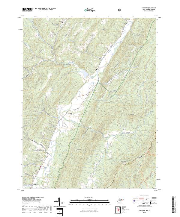
2023 Lost River State Park
Hardy County, WV
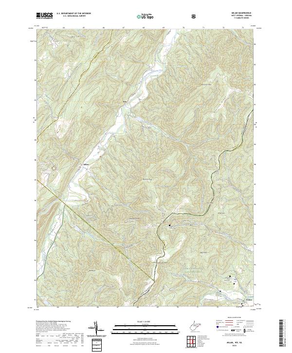
2023 Milam
Hardy County, WV
2023 Needmore
Hardy County, WV
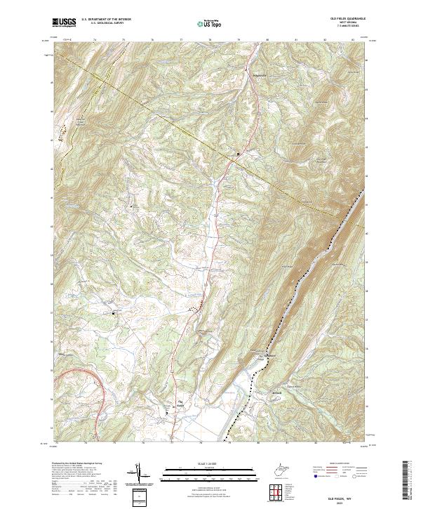
2023 Old Fields
Hardy County, WV
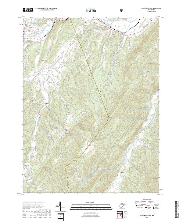
2023 Petersburg East
Hardy County, WV
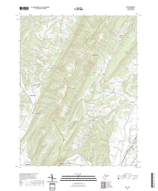
2023 Rig
Hardy County, WV
2023 Wolf Gap
Hardy County, WV