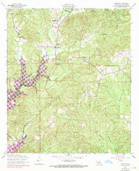
1954 Map of Negreet
USGS Topo · Published 1970About this map
The La Nana Grant landscape undergoes a dramatic transformation on this sheet, where the 1954 topography meets 1969 revisions showing the rising waters of the Toledo Bend Reservoir. This transition from a traditional creek-bottom environment to a major reservoir impact zone is visible as purple-shaded inundation areas overlay the original drainage of Negreet Creek and Winfrey Creek.
Find a feature on this map
22 named features on this map. Tap any name to fly to it.
Don’t see what you’re looking for? This feature index may not catch every label — zoom into the map to look around manually.
Map Details
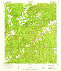
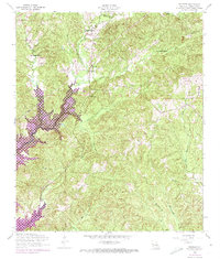
Editions of this 1954 Negreet Map
Other maps of this area

1941 · Zwolle
USGS Topo · 1:62,500

1942 · Many
USGS Topo · 1:62,500

1942 · Florien
USGS Topo · 1:62,500

1943 · Many
USGS Topo · 1:62,500

1944 · Negreet
USGS Topo · 1:62,500

1944 · Florien
USGS Topo · 1:62,500

1944 · Zwolle
USGS Topo · 1:62,500

1953 · Alexandria
USGS Topo · 1:250,000

1954 · Toro
USGS Topo · 1:24,000

1954 · Columbus
USGS Topo · 1:24,000