
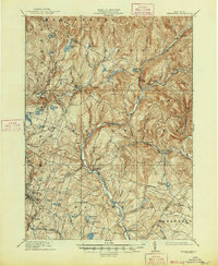
1910 Map of Neversink
USGS Topo · Published 1910About this map
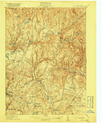
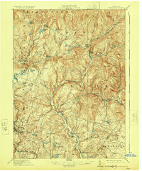
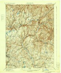
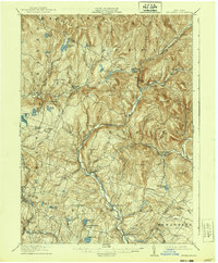
The Neversink River flows south through the heart of Sullivan County, anchoring a landscape defined by its many isolated ponds and high peaks like Mongaup Mtn and Denman Mtn. At the time of this 1908–1909 survey, the region supported numerous small mountain communities and farm clusters, including Grahamsville, Claryville, and Neversink. The southwestern corner shows significant development around Liberty, where the Ontario and Western RR provided a vital connection to the outside world. Smaller settlements such as Divine Corners, Loch Sheldrake, and Hasbrouck are shown along the local road networks, often centered around water bodies like Sheldrake Pond. Local social centers are marked by landmarks such as the Union Church near Willowemoc, while the eastern portion of the map traces the early course of Rondout Creek through Eureka and Lowes Cors before the valley's landscape was altered by later water management projects.
Find a feature on this map
71 named features on this map. Tap any name to fly to it.
Don’t see what you’re looking for? This feature index may not catch every label — zoom into the map to look around manually.
Map Details
Editions of this 1910 Neversink Map
6 editions found
Other maps of this area

1900 · Phoenicia
USGS Topo · 1:62,500

1901 · Margaretville
USGS Topo · 1:62,500

1903 · Phoenicia
USGS Topo · 1:62,500

1903 · Slide Mountain
USGS Topo · 1:62,500

1904 · Margaretville
USGS Topo · 1:62,500

1904 · Ellenville
USGS Topo · 1:62,500

1905 · Slide Mountain
USGS Topo · 1:62,500

1906 · Ellenville
USGS Topo · 1:62,500

1909 · Monticello
USGS Topo · 1:62,500

1911 · Monticello
USGS Topo · 1:62,500