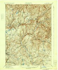
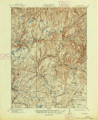
1910 Map of Neversink
USGS Topo · Published 1932About this map
Neversink River headwaters dominate this Catskill landscape, carved by a network of steep valleys and high peaks such as Blue Hill and Denman Mtn. Before the mid-century valley inundations, the region was defined by small river-bottom settlements like Grahamsville, Claryville, and Eureka. The southern portion of the map reveals a shift from the deep forest of Denning and Hardenburg toward more developed dairy and early resort country, particularly around Loch Sheldrake and the village of Liberty.
Find a feature on this map
74 named features on this map. Tap any name to fly to it.
Don’t see what you’re looking for? This feature index may not catch every label — zoom into the map to look around manually.
Map Details
Editions of this 1910 Neversink Map
6 editions found
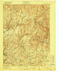
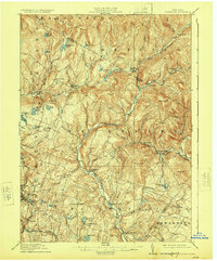
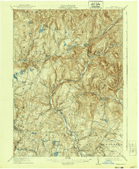
Other maps of this area

1900 · Phoenicia
USGS Topo · 1:62,500

1901 · Margaretville
USGS Topo · 1:62,500

1903 · Phoenicia
USGS Topo · 1:62,500

1903 · Slide Mountain
USGS Topo · 1:62,500

1904 · Margaretville
USGS Topo · 1:62,500

1904 · Ellenville
USGS Topo · 1:62,500

1905 · Slide Mountain
USGS Topo · 1:62,500

1906 · Ellenville
USGS Topo · 1:62,500

1909 · Monticello
USGS Topo · 1:62,500

1910 · Neversink
USGS Topo · 1:62,500