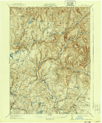
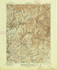
1910 Map of Neversink
USGS Topo · Published 1939About this map
The Neversink River flows south through the heart of this landscape, its path carving through the terrain between the Bald Mtns and Thunder Hill. In the early twentieth century, this region supported a network of small hamlets and agricultural settlements such as Grahamsville and Claryville, connected by winding valley roads. The southern portion of the survey captures a more developed corridor including Loch Sheldrake and Woodbourne, while the Ontario and Western railroad skirts the southwestern edge near Ferndale.
Find a feature on this map
78 named features on this map. Tap any name to fly to it.
Don’t see what you’re looking for? This feature index may not catch every label — zoom into the map to look around manually.
Map Details
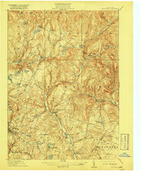
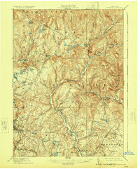
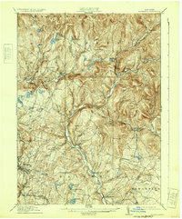
Editions of this 1910 Neversink Map
6 editions found
Other maps of this area

1900 · Phoenicia
USGS Topo · 1:62,500

1901 · Margaretville
USGS Topo · 1:62,500

1903 · Phoenicia
USGS Topo · 1:62,500

1903 · Slide Mountain
USGS Topo · 1:62,500

1904 · Margaretville
USGS Topo · 1:62,500

1904 · Ellenville
USGS Topo · 1:62,500

1905 · Slide Mountain
USGS Topo · 1:62,500

1906 · Ellenville
USGS Topo · 1:62,500

1909 · Monticello
USGS Topo · 1:62,500

1910 · Neversink
USGS Topo · 1:62,500