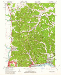
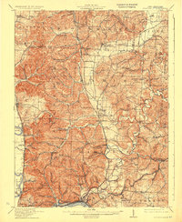
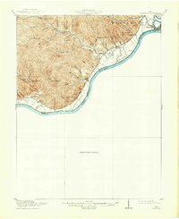
1961 Map of New Boston
USGS Topo · Published 1962About this map
The confluence of the Ohio River and Scioto River dominates the southern landscape of this 1961 survey, where industrial and transportation hubs define the valley floor. In the city of Portsmouth, the street grid extends toward the commercial activity in New Boston and Sciotoville, supported by a dense network of railroads including the Norfolk and Western and Baltimore and Ohio. To the north, the terrain transitions into the steep ridges of Wayne National Forest, where smaller settlements like Harrison Furnace and Rubyville are tucked into the hollows. Genealogists will find numerous family and community landmarks, such as Stony Hill Cem and Glendale Ch, scattered among the rural upland roads. The map highlights the sharp contrast between the burgeoning industrial riverfront and the protected woodlands of Feurt Hill and Dutch Ridge.
Find a feature on this map
82 named features on this map. Tap any name to fly to it.
Don’t see what you’re looking for? This feature index may not catch every label — zoom into the map to look around manually.
Map Details
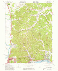
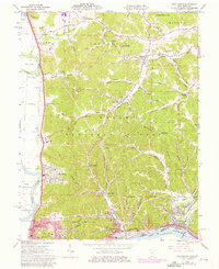
Editions of this 1961 New Boston Map
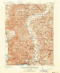
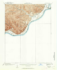
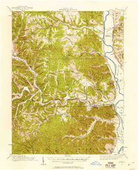
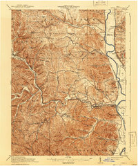
Other maps of this area
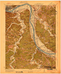
1911 · Sciotoville
USGS Topo · 1:62,500
1913 · Sciotoville
USGS Topo · 1:62,500
1915 · Garrison
USGS Topo · 1:62,500
1915 · Otway
USGS Topo · 1:62,500
1917 · Otway
USGS Topo · 1:62,500
1918 · Garrison
USGS Topo · 1:62,500

1926 · Greenup
USGS Topo · 1:48,000
1930 · Greenup
USGS Topo · 1:62,500
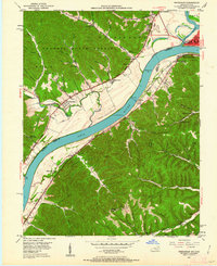
1949 · Friendship
USGS Topo · 1:24,000
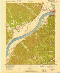
1951 · Friendship
USGS Topo · 1:24,000