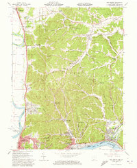
1961 Map of New Boston
USGS Topo · Published 1973About this map
Portsmouth and its neighbors along the northern bank of the Ohio River dominate the southern edge of this map, showcasing an industrial and residential hub at the confluence of the Scioto River and the Little Scioto River. The landscape transitions quickly from the urban grid of New Boston and Sciotoville to the steep, wooded ridges of the Wayne National Forest. Cultural landmarks like the Notre Dame Sch and Harrison Furnace reflect the area’s long history of education and iron production.
Find a feature on this map
88 named features on this map. Tap any name to fly to it.
Don’t see what you’re looking for? This feature index may not catch every label — zoom into the map to look around manually.
Map Details
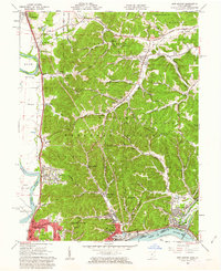
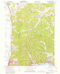
Editions of this 1961 New Boston Map
Other maps of this area

1911 · Sciotoville
USGS Topo · 1:62,500

1913 · Sciotoville
USGS Topo · 1:62,500

1915 · Garrison
USGS Topo · 1:62,500

1915 · Otway
USGS Topo · 1:62,500

1917 · Otway
USGS Topo · 1:62,500

1918 · Garrison
USGS Topo · 1:62,500

1926 · Greenup
USGS Topo · 1:48,000

1930 · Greenup
USGS Topo · 1:62,500

1949 · Friendship
USGS Topo · 1:24,000
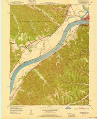
1951 · Friendship
USGS Topo · 1:24,000