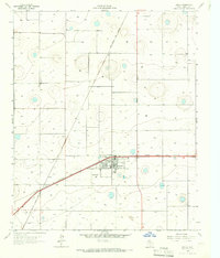
1956 Map of New Deal
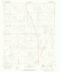
USGS Topo · Published 1971About this map
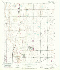
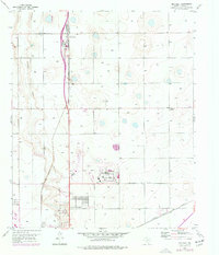
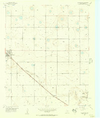
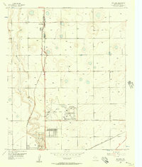
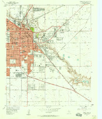
The community of New Deal sits at a critical junction of mid-century infrastructure, where U.S. Highway 87 parallels the Atchison Topeka and Santa Fe railroad line. This survey captures the northern expansion of Lubbock as industrial and transit needs reshaped the Llano Estacado. The Lubbock Municipal Airport dominates the southern portion of the map, featuring its Administration Bldg, several Hangars, and an adjacent City of Lubbock Industrial Area.
Find a feature on this map
18 named features on this map. Tap any name to fly to it.
Don’t see what you’re looking for? This feature index may not catch every label — zoom into the map to look around manually.
Map Details
Editions of this 1956 New Deal Map
3 editions found
Other maps of this area

1954 · Lubbock
USGS Topo · 1:250,000
1956 · Shallowater
USGS Topo · 1:24,000
1956 · New Deal
USGS Topo · 1:24,000
1957 · Lubbock East
USGS Topo · 1:24,000
1957 · Lubbock West
USGS Topo · 1:24,000

1957 · Lubbock
USGS Topo · 1:62,500
1957 · Abernathy
USGS Topo · 1:62,500
1965 · Buffalo Springs Lake
USGS Topo · 1:24,000
1965 · Idalou
USGS Topo · 1:24,000
1965 · Heckville
USGS Topo · 1:24,000