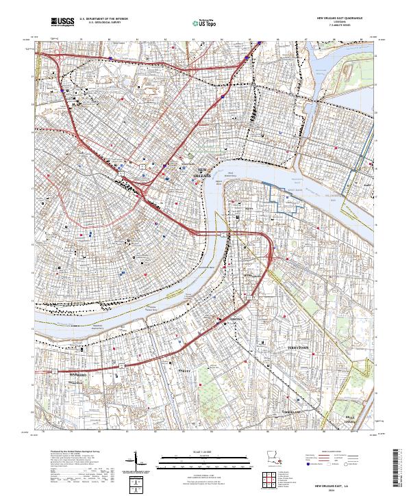
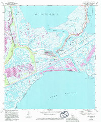
2024 Map of New Orleans East
USGS Topo · Published 2024About this map
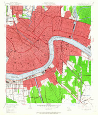
The crescent curve of the Mississippi River defines this urban landscape, where the Vieux Carre and New Orleans Jazz National Historical Park anchor the historic center. This map meticulously details the city's unique necropoli, from the sprawling grounds of Metairie Cem and Greenwood Cem in the northwest to the dense, historic blocks of Saint Louis Cem Number 1 and Lafayette Cem Number 1. These sites, alongside institutional landmarks like the Tulane University of Louisiana and Loyola University New Orleans, illustrate the cultural and academic foundations of the region.
Find a feature on this map
92 named features on this map. Tap any name to fly to it.
Don’t see what you’re looking for? This feature index may not catch every label — zoom into the map to look around manually.
Map Details
Editions of this 2024 New Orleans East Map
This is the sole edition of this map. No revisions or reprints were ever made.
Historical Maps of New Orleans Through Time
36 maps found
1892 Chef Menteur
Orleans Parish, LA

1932 New Orleans NE
Orleans Parish, LA

1936 Chef Menteur
Orleans Parish, LA

1936 South Point
Orleans Parish, LA

1937 Chef Menteur
Orleans Parish, LA

1938 Little Woods
Orleans Parish, LA

1938 Spanish Fort
Orleans Parish, LA

1939 New Orleans East
Orleans Parish, LA

1943 Little Woods
Orleans Parish, LA

1949 Alligator Point
Orleans Parish, LA
1951 Chef Menteur
Orleans Parish, LA
1951 Little Woods
Orleans Parish, LA
1951 New Orleans East
Orleans Parish, LA

1951 South Point
Orleans Parish, LA
1951 Spanish Fort
Orleans Parish, LA
1956 Alligator Point
Orleans Parish, LA
1965 Spanish Fort
Orleans Parish, LA

1966 New Orleans East
Orleans Parish, LA
1967 Chef Menteur
Orleans Parish, LA
1967 Little Woods
Orleans Parish, LA
1967 South Point
Orleans Parish, LA
1968 Alligator Point
Orleans Parish, LA

1969 Chef Menteur
Orleans Parish, LA

1992 New Orleans East
Orleans Parish, LA
1992 Spanish Fort
Orleans Parish, LA

1994 Alligator Point
Orleans Parish, LA

1998 Chef Menteur
Orleans Parish, LA

1998 Little Woods
Orleans Parish, LA

1998 New Orleans East
Orleans Parish, LA

1999 Spanish Fort
Orleans Parish, LA
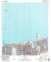
2024 Alligator Point
Orleans Parish, LA
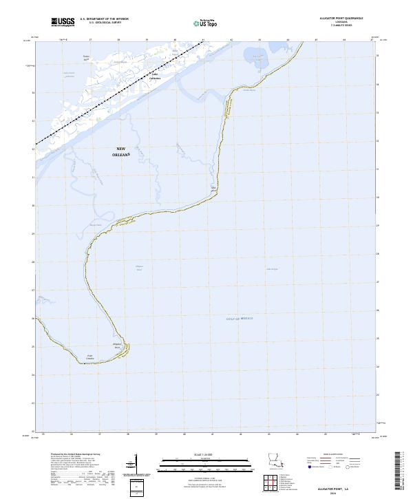
2024 Chef Menteur
Orleans Parish, LA
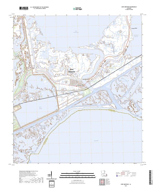
2024 Little Woods
Orleans Parish, LA
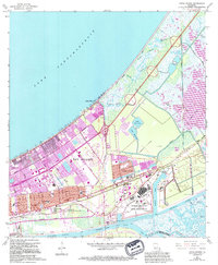
2024 New Orleans East
Orleans Parish, LA
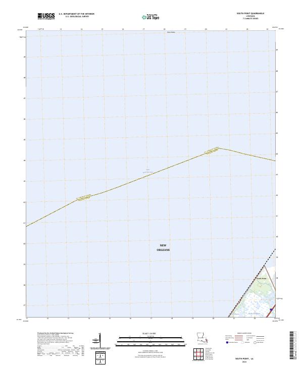
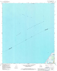
2024 South Point
Orleans Parish, LA
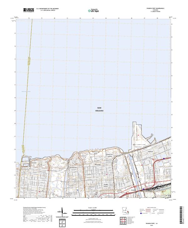
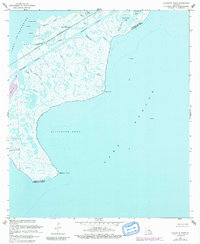
2024 Spanish Fort
Orleans Parish, LA