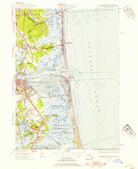
1952 Map of Newburyport East
USGS Topo · Published 1954About this map
The Merrimack River and Parker River define this coastal landscape, creating a complex network of tidal flats and islands before reaching the Atlantic Ocean. Along the shoreline, the established barrier of Plum Island protects a vast salt marsh environment, much of which is dedicated to the Parker River National Wildlife Refuge. Inland, the settlement of Newburyport serves as a focal point, showing a dense grid of streets like Water Street and Hanover St that reflect its maritime heritage.
Find a feature on this map
72 named features on this map. Tap any name to fly to it.
Don’t see what you’re looking for? This feature index may not catch every label — zoom into the map to look around manually.
Map Details
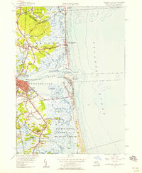
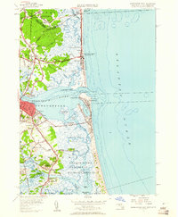
Editions of this 1952 Newburyport East Map
3 editions found
Other maps of this area

1886 · Gloucester
USGS Topo · 1:62,500

1888 · Newburyport
USGS Topo · 1:62,500

1888 · Gloucester
USGS Topo · 1:62,500

1888 · Salem
USGS Topo · 1:62,500

1890 · Newburyport
USGS Topo · 1:62,500

1893 · Salem
USGS Topo · 1:62,500

1893 · Gloucester
USGS Topo · 1:62,500

1894 · Newburyport
USGS Topo · 1:62,500

1917 · Salem
USGS Topo · 1:62,500

1918 · Gloucester
USGS Topo · 1:62,500