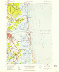
1952 Map of Newburyport East
USGS Topo · Published 1958About this map
Newburyport and its coastal neighbors are defined by the intricate movement of water through the Merrimack River and the marshes of the Parker River. This 1952 revision captures the Essex County shoreline as it appeared before mid-century modernization, showing the established communities of Joppa and South Seabrook alongside seasonal coastal outposts like Plum Island. The landscape is dotted with early history, including the First Burial Ground in Newbury Old Town and numerous family-named landmarks like Kents Island and Butlers Toothpick.
Find a feature on this map
81 named features on this map. Tap any name to fly to it.
Don’t see what you’re looking for? This feature index may not catch every label — zoom into the map to look around manually.
Map Details
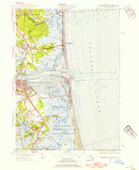
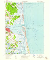
Editions of this 1952 Newburyport East Map
3 editions found
Other maps of this area

1886 · Gloucester
USGS Topo · 1:62,500

1888 · Newburyport
USGS Topo · 1:62,500

1888 · Gloucester
USGS Topo · 1:62,500

1888 · Salem
USGS Topo · 1:62,500

1890 · Newburyport
USGS Topo · 1:62,500

1893 · Salem
USGS Topo · 1:62,500

1893 · Gloucester
USGS Topo · 1:62,500

1894 · Newburyport
USGS Topo · 1:62,500

1917 · Salem
USGS Topo · 1:62,500

1918 · Gloucester
USGS Topo · 1:62,500