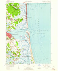
1952 Map of Newburyport East
USGS Topo · Published 1961About this map
Plum Island and its extensive salt marshes dominate this 1952 coastal survey, stretching from the mouth of the Merrimack River south toward the Rowley River. The landscape is a complex network of tidal creeks like Pine Island Creek and Little Pine Island Creek, bordering what would become the Parker River National Wildlife Refuge. In the bustling maritime center of Newburyport, the map records specific local landmarks including the Newburyport LH and the nearby Coast Guard Sta on Plum Island Pt. To the north, the transition from New Hampshire into Massachusetts is marked by the coastal community of Salisbury Beach (Cushing PO), while the interior reveals older settlement patterns at Newbury Old Town. Genealogists will find the location of the First Burial Ground and several smaller cemeteries such as Long Hill Cem and Maplewood Cem particularly useful for tracing early regional family sites.
Find a feature on this map
91 named features on this map. Tap any name to fly to it.
Don’t see what you’re looking for? This feature index may not catch every label — zoom into the map to look around manually.
Map Details
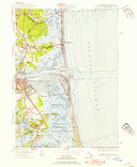
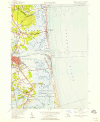
Editions of this 1952 Newburyport East Map
3 editions found
Other maps of this area

1886 · Gloucester
USGS Topo · 1:62,500

1888 · Newburyport
USGS Topo · 1:62,500

1888 · Gloucester
USGS Topo · 1:62,500

1888 · Salem
USGS Topo · 1:62,500

1890 · Newburyport
USGS Topo · 1:62,500

1893 · Salem
USGS Topo · 1:62,500

1893 · Gloucester
USGS Topo · 1:62,500

1894 · Newburyport
USGS Topo · 1:62,500

1917 · Salem
USGS Topo · 1:62,500

1918 · Gloucester
USGS Topo · 1:62,500