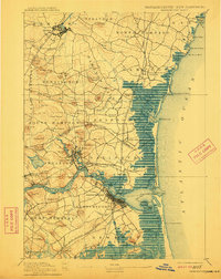
1894 Map of Newburyport
USGS Topo · Published 1911About this map
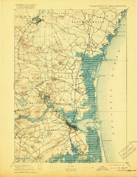
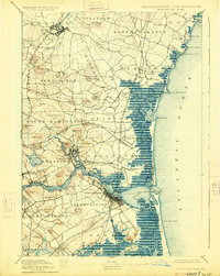
The Merrimac River serves as the central artery for this coastal region, carving a path past Newburyport and Amesbury toward the Atlantic Ocean. This late 19th-century survey documents a landscape defined by its maritime and industrial connections, where the Boston and Maine Railroad and various branches like the Eastern Division link established town centers. Along the shoreline, navigation aids and safety infrastructure are prominent, including the Newburyport Light and multiple U.S. Life Saving Stations positioned to protect mariners navigating the treacherous waters near Joppa Flats and Plum Island River. The map reveals a high density of named drumlins and hills, such as Powow Hill and Moulton Ridge, which dictated the early road patterns and settlement boundaries between Massachusetts and New Hampshire. From the salt marshes of Seabrook to the historic center of Newbury Old Town, the map captures the transition from riverine commerce to a railroad-supported economy.
Find a feature on this map
112 named features on this map. Tap any name to fly to it.
Don’t see what you’re looking for? This feature index may not catch every label — zoom into the map to look around manually.
Map Details
Editions of this 1894 Newburyport Map
7 editions found

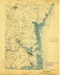
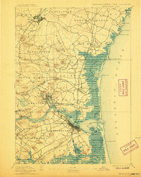
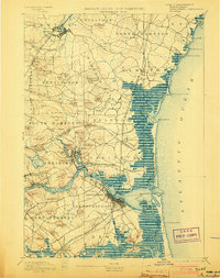
Other maps of this area

1886 · Gloucester
USGS Topo · 1:62,500

1886 · Lawrence
USGS Topo · 1:62,500

1888 · Newburyport
USGS Topo · 1:62,500

1888 · Haverhill
USGS Topo · 1:62,500

1888 · Gloucester
USGS Topo · 1:62,500

1888 · Lawrence
USGS Topo · 1:62,500

1888 · Salem
USGS Topo · 1:62,500

1890 · Haverhill
USGS Topo · 1:62,500

1890 · Newburyport
USGS Topo · 1:62,500

1893 · Dover
USGS Topo · 1:62,500