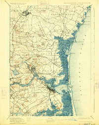
1894 Map of Newburyport
USGS Topo · Published 1926About this map
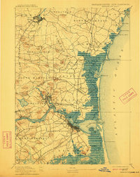
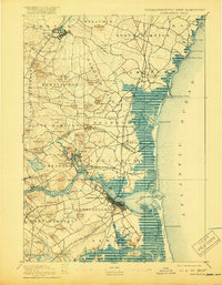
Newburyport and the lower Merrimac River dominate this coastal survey, where the maritime and rail infrastructure of late 19th-century New England is on full display. The river mouth is guarded by the Newburyport Light and Range Light, with the expansive Joppa Flats and Plum Island shielding the mainland from the Atlantic Ocean. Inland, the settlement patterns of Amesbury, Exeter, and Salisbury are defined by their proximity to water power and the Boston and Maine Railroad, which connects these industrial hubs. The landscape is dotted with numerous family-named landmarks like Whittier Hill and Moulton Ridge, reflecting generations of local landholding. Along the coastline, Hampton Harbor and the U.S. Life Saving Station near Rye Ledge underscore the area's hazardous seafaring history before modern navigation and flood control altered the marshlands.
Find a feature on this map
101 named features on this map. Tap any name to fly to it.
Don’t see what you’re looking for? This feature index may not catch every label — zoom into the map to look around manually.
Map Details
Editions of this 1894 Newburyport Map
7 editions found

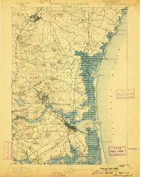
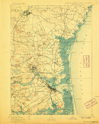
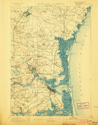
Other maps of this area

1886 · Gloucester
USGS Topo · 1:62,500

1886 · Lawrence
USGS Topo · 1:62,500

1888 · Newburyport
USGS Topo · 1:62,500

1888 · Haverhill
USGS Topo · 1:62,500

1888 · Gloucester
USGS Topo · 1:62,500

1888 · Lawrence
USGS Topo · 1:62,500

1888 · Salem
USGS Topo · 1:62,500

1890 · Haverhill
USGS Topo · 1:62,500

1890 · Newburyport
USGS Topo · 1:62,500

1893 · Dover
USGS Topo · 1:62,500