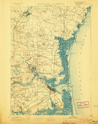
1894 Map of Newburyport
USGS Topo · Published 1908About this map
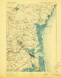
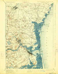
The Merrimac River serves as the central artery for this coastal region, where industrial centers like Newburyport and Amesbury met the maritime economy of the late nineteenth century. Surveyed by Henry Gannett and Marcus Baker, the map documents a landscape defined by its tidal geography, from the sweeping Joppa Flats to the navigational hazards managed by the Newburyport Light and Range Light. The complex drainage of the Parker River and Hampton Harbor creates a distinctive marshland character that separated established inland villages like Hampton Falls from the rising leisure destination at Salisbury Beach.
Find a feature on this map
101 named features on this map. Tap any name to fly to it.
Don’t see what you’re looking for? This feature index may not catch every label — zoom into the map to look around manually.
Map Details
Editions of this 1894 Newburyport Map
7 editions found

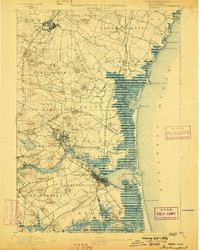
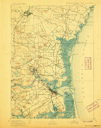
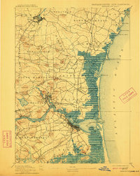
Other maps of this area

1886 · Gloucester
USGS Topo · 1:62,500

1886 · Lawrence
USGS Topo · 1:62,500

1888 · Newburyport
USGS Topo · 1:62,500

1888 · Haverhill
USGS Topo · 1:62,500

1888 · Gloucester
USGS Topo · 1:62,500

1888 · Lawrence
USGS Topo · 1:62,500

1888 · Salem
USGS Topo · 1:62,500

1890 · Haverhill
USGS Topo · 1:62,500

1890 · Newburyport
USGS Topo · 1:62,500

1893 · Dover
USGS Topo · 1:62,500