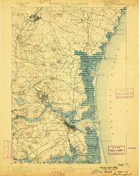
1894 Map of Newburyport
USGS Topo · Published 1898About this map
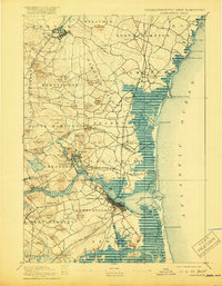
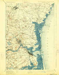
The Merrimac River carves a deep tidal estuary through this coastal borderland, serving as the commercial and industrial anchor for Newburyport and Amesbury in the late 19th century. This survey documents a landscape defined by its maritime economy, from the Newburyport Light and Range Light guarding the harbor entrance to the U.S. Life Saving Station on the northern coast. The complexity of the marshland is evident in the intricate winding of the Parker River and Plum Island River, which surround Newbury Old Town.
Find a feature on this map
104 named features on this map. Tap any name to fly to it.
Don’t see what you’re looking for? This feature index may not catch every label — zoom into the map to look around manually.
Map Details
Editions of this 1894 Newburyport Map
7 editions found

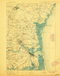
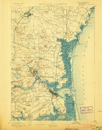
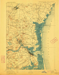
Other maps of this area

1886 · Gloucester
USGS Topo · 1:62,500

1886 · Lawrence
USGS Topo · 1:62,500

1888 · Newburyport
USGS Topo · 1:62,500

1888 · Haverhill
USGS Topo · 1:62,500

1888 · Gloucester
USGS Topo · 1:62,500

1888 · Lawrence
USGS Topo · 1:62,500

1888 · Salem
USGS Topo · 1:62,500

1890 · Haverhill
USGS Topo · 1:62,500

1890 · Newburyport
USGS Topo · 1:62,500

1893 · Dover
USGS Topo · 1:62,500