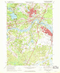
1968 Map of Newburyport West
USGS Topo · Published 1970About this map
The Merrimack River serves as the central artery for this late-1960s landscape, dividing the industrial centers of Amesbury and Newburyport from the rural hills of West Newbury. The industrial character of the era is evident in the dense street grids and the path of the Boston and Maine railroad, which cuts through the region alongside the newly developed Interstate 95. Significant institutional footprints are scattered across the terrain, including the historic Governor Dummer Academy in the south and the Cardinal Cushing Academy nestled near the Upper Artichoke Res. Numerous resting places such as the Sawyer Hill Burying Ground and Belleville Cem offer valuable points of interest for genealogists tracing local families. To the north, Lake Attitash and the Powwow River define the boundary with New Hampshire, while the Whittier Memorial Bridge provides a critical connection across the river at Salisbury Point.
Find a feature on this map
85 named features on this map. Tap any name to fly to it.
Don’t see what you’re looking for? This feature index may not catch every label — zoom into the map to look around manually.
Map Details
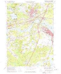
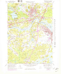
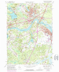
Editions of this 1968 Newburyport West Map
4 editions found
Other maps of this area

1886 · Lawrence
USGS Topo · 1:62,500

1888 · Newburyport
USGS Topo · 1:62,500

1888 · Haverhill
USGS Topo · 1:62,500

1888 · Lawrence
USGS Topo · 1:62,500

1888 · Salem
USGS Topo · 1:62,500

1890 · Haverhill
USGS Topo · 1:62,500

1890 · Newburyport
USGS Topo · 1:62,500

1893 · Salem
USGS Topo · 1:62,500

1893 · Lawrence
USGS Topo · 1:62,500

1893 · Haverhill
USGS Topo · 1:62,500