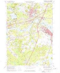
1968 Map of Newburyport West
USGS Topo · Published 1975About this map
The Merrimack River bisects this landscape of the late 1960s, serving as a historic corridor for the industrial and residential growth of Newburyport and Amesbury. The settlement pattern reflects centuries of development, from the dense street grids near the water to the institutional grounds of Governor Dummer Academy and Cardinal Cushing Academy. Transportation infrastructure is a focal point, with the Boston and Maine railroad line and the Newburyport Turnpike facilitating regional movement. Genealogy and local history are well-preserved through numerous burial sites, including the Sawyer Hill Burying Ground and Union Cem. In the surrounding townships of West Newbury and Salisbury, the terrain transitions from the water-oriented recreation at Lake Attitash to the agricultural reaches of Salisbury Plains. Notable civil features like the Whittier Memorial Bridge and the Pleasant View Airport mark the era's mid-century modernization.
Find a feature on this map
83 named features on this map. Tap any name to fly to it.
Don’t see what you’re looking for? This feature index may not catch every label — zoom into the map to look around manually.
Map Details
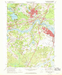
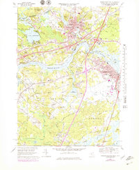
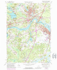
Editions of this 1968 Newburyport West Map
4 editions found
Other maps of this area

1886 · Lawrence
USGS Topo · 1:62,500

1888 · Newburyport
USGS Topo · 1:62,500

1888 · Haverhill
USGS Topo · 1:62,500

1888 · Lawrence
USGS Topo · 1:62,500

1888 · Salem
USGS Topo · 1:62,500

1890 · Haverhill
USGS Topo · 1:62,500

1890 · Newburyport
USGS Topo · 1:62,500

1893 · Salem
USGS Topo · 1:62,500

1893 · Lawrence
USGS Topo · 1:62,500

1893 · Haverhill
USGS Topo · 1:62,500