
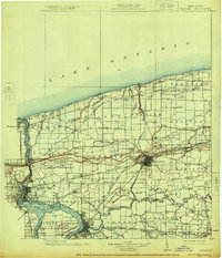
1899 Map of Niagara
USGS Topo · Published 1899About this map
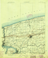
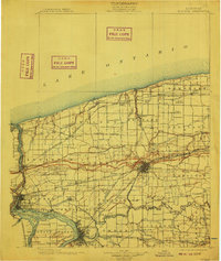
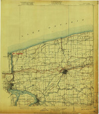
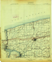
The Niagara River forms a dramatic western boundary in this late nineteenth-century survey, defining the border between the United States and Canada. From the strategic position of Fort Niagara at the mouth of Lake Ontario, the landscape transitions from the river's gorge and the Brock Monument near Lewiston into the agricultural interior of the Niagara and Erie County borderlands. The industrial heart of the region is centered on Lockport, where the Erie Canal cuts through the escarpment alongside several major rail lines including the Hudson River R. R. and the Lockport Branch.
Find a feature on this map
134 named features on this map. Tap any name to fly to it.
Don’t see what you’re looking for? This feature index may not catch every label — zoom into the map to look around manually.
Map Details
Editions of this 1899 Niagara Map
6 editions found
Other maps of this area

1894 · Buffalo
USGS Topo · 1:62,500

1894 · Niagara Falls
USGS Topo · 1:62,500

1894 · Wilson
USGS Topo · 1:62,500

1896 · Niagara Falls
USGS Topo · 1:62,500

1897 · Tonawanda
USGS Topo · 1:62,500

1897 · Olcott
USGS Topo · 1:62,500

1897 · Medina
USGS Topo · 1:62,500

1897 · Lockport
USGS Topo · 1:62,500

1897 · Ridgeway
USGS Topo · 1:62,500

1900 · Wilson
USGS Topo · 1:62,500