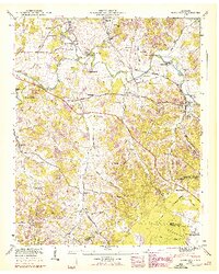
1947 Map of Normandy
USGS Topo · Published 1948About this map
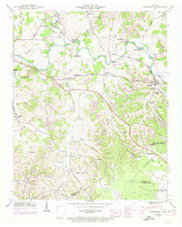
The Duck River winds through this 1940s landscape, passing under historic crossings like Yell Bridge and Dement Bridge. This Tennessee Valley Authority and Geological Survey record reveals a region defined by water power and rail transit, with Cortners Mill and Ledfords Mill highlighting the local milling industry. The Louisville and Nashville railroad tracks follow the river's path, connecting the central town of Normandy to smaller communities like Haley and Roseville.
Find a feature on this map
79 named features on this map. Tap any name to fly to it.
Don’t see what you’re looking for? This feature index may not catch every label — zoom into the map to look around manually.
Map Details
Editions of this 1947 Normandy Map
7 editions found
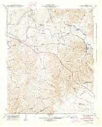
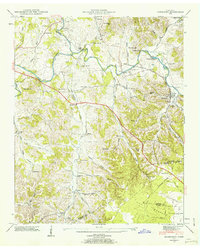
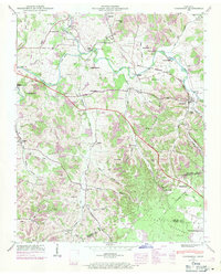
Other maps of this area

1913 · Hollow Springs
USGS Topo · 1:62,500

1936 · Ovoca
USGS Topo · 1:24,000

1936 · Booneville
USGS Topo · 1:24,000

1936 · Shelbyville
USGS Topo · 1:24,000

1936 · Deason
USGS Topo · 1:24,000

1936 · Cumberland Springs
USGS Topo · 1:24,000

1936 · Noah
USGS Topo · 1:24,000

1936 · Wartrace
USGS Topo · 1:24,000

1936 · Camp Peay
USGS Topo · 1:24,000

1936 · Normandy
USGS Topo · 1:24,000