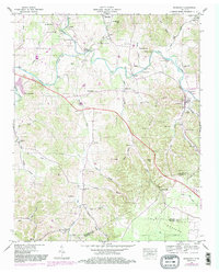
1947 Map of Normandy
USGS Topo · Published 1983About this map
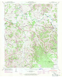
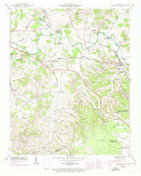
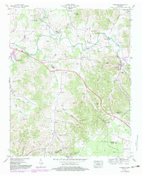
The Duck River meanders through the heart of this Tennessee landscape, defining the character of the settlements from Normandy to the small community of Bugscuffle. At the time of this 1947 field survey, the river provided more than just a geographic boundary; it supported local industry and connectivity at sites like Cortners Mill and across the Cortner Bridge. The terrain is marked by family-named landmarks and local heritage sites, including Saltpeter Bluff and several country churches such as Rocky Point Ch and Shoffner Ch.
Find a feature on this map
80 named features on this map. Tap any name to fly to it.
Don’t see what you’re looking for? This feature index may not catch every label — zoom into the map to look around manually.
Map Details
Editions of this 1947 Normandy Map
7 editions found
Other maps of this area

1913 · Hollow Springs
USGS Topo · 1:62,500

1936 · Ovoca
USGS Topo · 1:24,000

1936 · Booneville
USGS Topo · 1:24,000

1936 · Shelbyville
USGS Topo · 1:24,000

1936 · Deason
USGS Topo · 1:24,000

1936 · Cumberland Springs
USGS Topo · 1:24,000

1936 · Noah
USGS Topo · 1:24,000

1936 · Wartrace
USGS Topo · 1:24,000

1936 · Camp Peay
USGS Topo · 1:24,000

1936 · Normandy
USGS Topo · 1:24,000