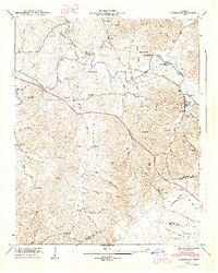
1947 Map of Normandy
USGS Topo · Published 1948About this map
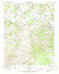
The Duck River and its tributary Garrison Fork dominate the landscape of Bedford County in the late 1940s, providing a focal point for early industry and agriculture. Historical landmarks like Cortners Mill and Ledfords Mill reflect a river-driven economy, while the Nashville Chattanooga and St Louis railroad serves the community of Normandy. The map reveals a dense network of family history through numerous burial grounds, including Cortner Cem, Mcquiddy Cem, and Troxler Cem.
Find a feature on this map
76 named features on this map. Tap any name to fly to it.
Don’t see what you’re looking for? This feature index may not catch every label — zoom into the map to look around manually.
Map Details
Editions of this 1947 Normandy Map
7 editions found
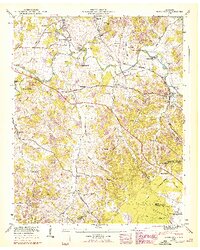
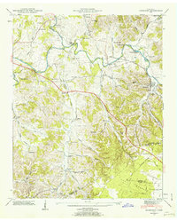
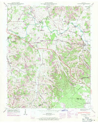
Other maps of this area

1913 · Hollow Springs
USGS Topo · 1:62,500

1936 · Ovoca
USGS Topo · 1:24,000

1936 · Booneville
USGS Topo · 1:24,000

1936 · Shelbyville
USGS Topo · 1:24,000

1936 · Deason
USGS Topo · 1:24,000

1936 · Cumberland Springs
USGS Topo · 1:24,000

1936 · Noah
USGS Topo · 1:24,000

1936 · Wartrace
USGS Topo · 1:24,000

1936 · Camp Peay
USGS Topo · 1:24,000

1936 · Normandy
USGS Topo · 1:24,000