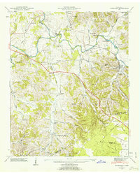
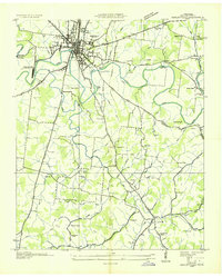
1947 Map of Normandy
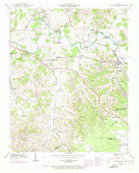
USGS Topo · Published 1962About this map
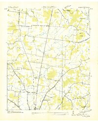
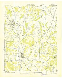
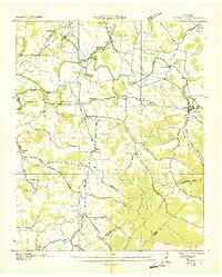
The Duck River and its various tributaries like Garrison Fork and Shipman Creek dominate this mid-century landscape on the edge of the Highland Rim. The town of Normandy serves as a central hub along the Nashville Chattanooga and St Louis Railway, which cuts across the terrain through numerous bridges including Gannon Bridge and Three Forks Bridge. The presence of Ledfords Mill near the Bedford and Moore County line speaks to the rural industry of the era, while the William Northern Airfield in the southeast indicates the mid-century aviation infrastructure in the region.
Find a feature on this map
71 named features on this map. Tap any name to fly to it.
Don’t see what you’re looking for? This feature index may not catch every label — zoom into the map to look around manually.
Map Details
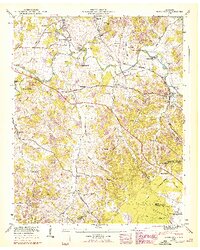
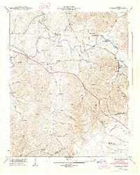
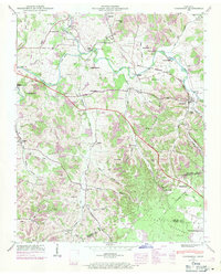
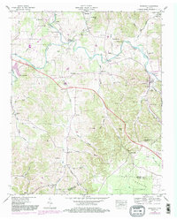
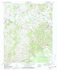
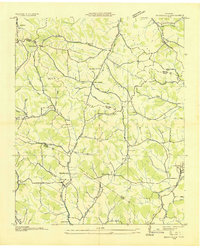
Editions of this 1947 Normandy Map
7 editions found
Other maps of this area

1913 · Hollow Springs
USGS Topo · 1:62,500

1936 · Ovoca
USGS Topo · 1:24,000
1936 · Booneville
USGS Topo · 1:24,000
1936 · Shelbyville
USGS Topo · 1:24,000
1936 · Deason
USGS Topo · 1:24,000

1936 · Cumberland Springs
USGS Topo · 1:24,000

1936 · Noah
USGS Topo · 1:24,000
1936 · Wartrace
USGS Topo · 1:24,000

1936 · Camp Peay
USGS Topo · 1:24,000
1936 · Normandy
USGS Topo · 1:24,000