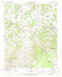
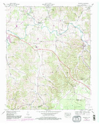
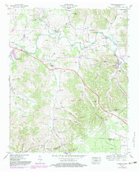
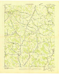
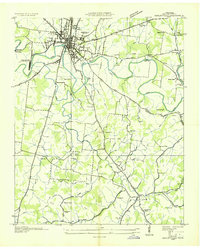
1947 Map of Normandy
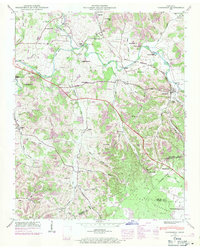
USGS Topo · Published 1971About this map
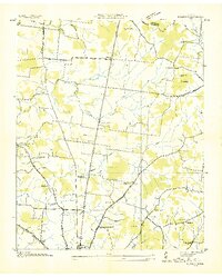
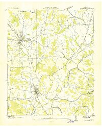
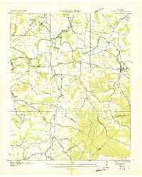
Duck River and its winding tributaries, including Garrison Fork and Thompson Creek, anchor this mid-century landscape at the meeting of Bedford and Moore counties. The area is characterized by a high density of rural infrastructure, from the early milling operations at Ledgeford Mill and Cortners Mill to a significant network of crossings like Fell Bridge and Enkhouser Bridge. The settlement of Normandy serves as a local hub along the Louisville and Nashville railroad line, which cuts through the rugged hills and hollows of The Barrens. Family history is deeply rooted in the terrain, evidenced by numerous named burial grounds such as Dickerson Cem and Mc Quiddy Cem, alongside country congregations at Rocky Point Ch and Three Forks Ch. The topography rises from river bottoms to prominent heights like Caruthers Hill and Saltpeter Bluff, defining a landscape where the river-and-rail economy shaped the development of small communities like Haley and Raus.
Find a feature on this map
76 named features on this map. Tap any name to fly to it.
Don’t see what you’re looking for? This feature index may not catch every label — zoom into the map to look around manually.
Map Details
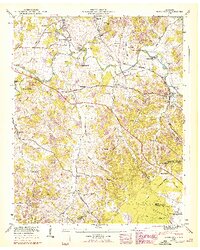
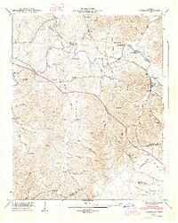
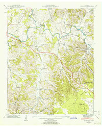
Editions of this 1947 Normandy Map
7 editions found
Other maps of this area

1913 · Hollow Springs
USGS Topo · 1:62,500

1936 · Ovoca
USGS Topo · 1:24,000
1936 · Booneville
USGS Topo · 1:24,000
1936 · Shelbyville
USGS Topo · 1:24,000
1936 · Deason
USGS Topo · 1:24,000

1936 · Cumberland Springs
USGS Topo · 1:24,000

1936 · Noah
USGS Topo · 1:24,000
1936 · Wartrace
USGS Topo · 1:24,000

1936 · Camp Peay
USGS Topo · 1:24,000
1936 · Normandy
USGS Topo · 1:24,000