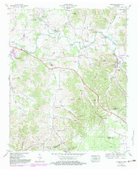
1947 Map of Normandy
USGS Topo · Published 1983About this map
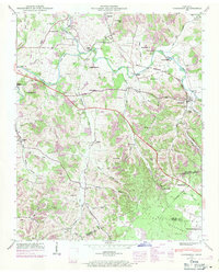
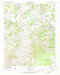
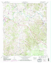
Garrison Fork and the Duck River define the northern landscape of this region, winding through a complex network of ridges and river bends before the full development of modern reservoirs. The settlement of Normandy serves as a central hub, situated near the Normandy Reservation Boundary and the Louisville and Nashville railroad line. Local industry and early infrastructure are evident through landmarks like Cortners Mill and Ledfords Mill, while numerous family cemeteries including Mc Quiddy Cem, Troxler Cem, and Cortner Cem provide significant genealogical markers for the area. Moving south, the terrain transitions into The Barrens, a distinct plateau area near the Bedford and Moore County line. Small communities and rural social centers such as Bugscuffle, Raus, and Jenkins Sch appear across the quadrangle, connected by historical river crossings like Dement Bridge and Yell Bridge.
Find a feature on this map
83 named features on this map. Tap any name to fly to it.
Don’t see what you’re looking for? This feature index may not catch every label — zoom into the map to look around manually.
Map Details
Editions of this 1947 Normandy Map
7 editions found
Other maps of this area

1913 · Hollow Springs
USGS Topo · 1:62,500

1936 · Ovoca
USGS Topo · 1:24,000

1936 · Booneville
USGS Topo · 1:24,000

1936 · Shelbyville
USGS Topo · 1:24,000

1936 · Deason
USGS Topo · 1:24,000

1936 · Cumberland Springs
USGS Topo · 1:24,000

1936 · Noah
USGS Topo · 1:24,000

1936 · Wartrace
USGS Topo · 1:24,000

1936 · Camp Peay
USGS Topo · 1:24,000

1936 · Normandy
USGS Topo · 1:24,000